Granada / 10 photo spots
10 Instagram spots around Granada
Granada’s viewpoints, river lanes and close-set market streets offer varied frames across the historic centre and Albaicín.
Explore the map
Photo spots on the map
1 of 10 photo ideas has sourced location coordinates. The initial view is for orientation. An area marker does not indicate an exact photo position.
Select a highlighted number to show its sourced location on the map. Every name links to the photo spot.
If the map does not load, use the OpenStreetMap link or the photo spot list.
Map data: © OpenStreetMap contributors, ODbL.
Destination reference: GeoNames (CC BY 4.0). Spot coordinates: Wikidata, CC0. Selection, association and some calculations by You, Me, Away.
Mirador de San Nicolás
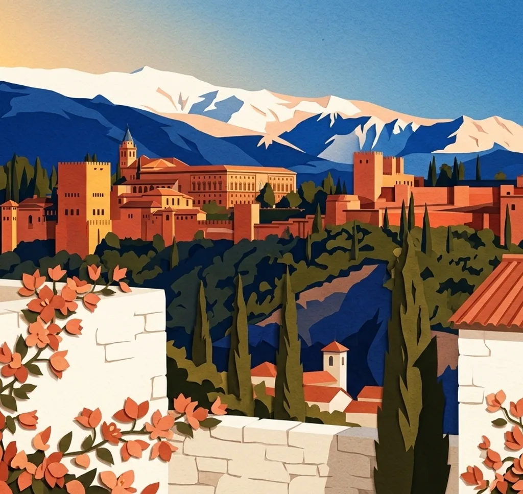
From the cobbled lookout, place the Alhambra across the frame and leave Sierra Nevada behind its towers. The broad panorama also takes in the Darro valley, so a low, wide composition links palace, mountain and city.
Search Google MapsMirador de San Cristóbal
Stand at the western edge of the Albaicín viewpoint and frame the old Zirí wall across the foreground. The Alhambra appears side-on beyond it, while the city centre and Sierra fill the wider panorama.
Search Google MapsMirador de San Miguel Alto
At Granada’s highest viewpoint, turn your camera across the city rather than centring only the Alhambra. Include the Albaicín and the mountains beyond to give the modern and historic districts equal weight.
Search Google MapsMirador de los Carvajales
Look from Mirador de los Carvajales toward the Alhambra, with its silhouette set against the slope. Leave room for the surrounding neighbourhood below to contrast the layered city with the fortress.
Search Google MapsMirador de la Placeta del Comino
From the small square, photograph the Alhambra beyond its boundary wall. Let the dark cypress gardens fill the lower half, then place one tower against the lighter sky for a layered frame.
Search Google MapsMirador de la Lona
At this lower Albaicín lookout, frame the Cathedral, San Jerónimo monastery and modern Granada together. A wide composition lets the landmarks read as part of the same city panorama rather than as isolated close-ups.
Search Google MapsCarrera del Darro
Walk beside the Darro and use the river’s line to lead toward the wooded Alhambra above. A bridge can anchor one side of the frame while the old street and flowing water pull the eye through the scene.
Search Google MapsPaseo de los Tristes
From the cobbled promenade beside the Darro, aim uphill so the Alhambra rises above the riverbank. Include the stone path as a foreground line and let the hillside palace sit beyond the trees.
Search Google MapsPlaza Bib-Rambla
Use the Fuente de los Gigantones as the anchor in this central square, then frame the historic buildings around its open space. Shoot across the plaza to show the fountain in its city setting.
Search Google MapsAlcaicería
Follow one of the narrow lanes toward Plaza Bib-Rambla and photograph the close-set shopfronts as a repeating pattern. The former silk market’s tight passages work well in portrait orientation, with the lane drawing the eye inward.
Search Google MapsSources for these photo spots
- Ayuntamiento de Granada: Mirador de San Nicolás
- Ayuntamiento de Granada: Mirador de San Cristóbal
- Spain.info: Granada in 7 viewing points and 7 quotes
- Ayuntamiento de Granada: Mirador de la Placeta del Comino
- Ayuntamiento de Granada: Mirador de la Lona
- Ayuntamiento de Granada: Carrera del Darro
- Ayuntamiento de Granada: Paseo de los Tristes
- Ayuntamiento de Granada: Plaza Bib-Rambla
- Ayuntamiento de Granada: Alcaicería