Graz / 9 photo spots
9 Instagram spots around Graz
Graz combines the Schlossberg above the old town with painted facades and contemporary architecture along the Mur. These views use paths, squares and a courtyard in the city centre.
Explore the map
Photo spots on the map
3 of 9 photo ideas have sourced location coordinates. The initial view is for orientation. An area marker does not indicate an exact photo position.
Select a highlighted number to show its sourced location on the map. Every name links to the photo spot.
If the map does not load, use the OpenStreetMap link or the photo spot list.
All photo spots
- GlockenspielplatzApproximate area
- Kunsthaus GrazSourced place
- MurinselSourced place
Map data: © OpenStreetMap contributors, ODbL.
Destination reference: GeoNames (CC BY 4.0). Spot coordinates: Wikidata, CC0. Selection, association and some calculations by You, Me, Away.
Uhrturm on Schlossberg
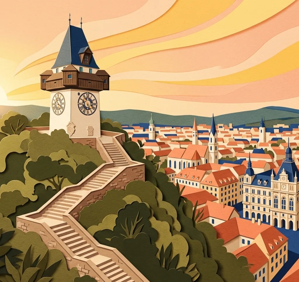
The Uhrturm stands above Graz on the Schlossberg. From the public path near the tower, frame the tower vertically with the clock face visible. The hill also offers views over the old town.
Search Google MapsSchlossbergsteig
The Schlossbergsteig climbs from Schlossbergplatz towards the Uhrturm in a series of zigzags. From a landing, photograph a section of the stone staircase and leave the route clear for others. In winter, follow notices of weather-related closures.
Search Google MapsHauptplatz and Town Hall
Graz Town Hall faces the Hauptplatz and its historic buildings. From the square, use a wider frame to include the facade and the surrounding space.
Search Google MapsGemaltes Haus
The facade of Gemaltes Haus in Herrengasse is covered in painted figures. From the pedestrian area, crop in on a section of the frescoes and the windows.
Search Google MapsLandhaushof
The Landhaushof has Renaissance arcades around its courtyard. From the visitor area, use the rows of arches to build a layered composition. Check courtyard opening times and event access before visiting.
Search Google MapsGlockenspielplatz
At Glockenspielplatz, wooden figures appear in the gable of the Glockenspiel building during performances. Photograph the facade from the square and check the current playing times if you want the figures in view.
Search Google MapsKunsthaus Graz
The blue Kunsthaus stands near Südtiroler Platz. Photograph its rounded exterior from the public square and include a neighbouring facade for scale.
Search Google MapsMurinsel
The Murinsel is a steel structure connected to both riverbanks by footbridges. From one of the public bridges, frame the island’s curved form and a strip of the Mur.
Search Google MapsErzherzog-Johann-Brücke
From the footway of Erzherzog-Johann-Brücke, look towards the Kunsthaus, Murinsel and Schlossberg. Choose one as the main subject and use the river to connect the scene.
Search Google MapsSources for these photo spots
- Graz Tourism: Uhrturm
- Graz Tourism: Schlossberg
- Graz Tourism: Schlossbergsteig
- Graz Tourism: Hauptplatz and Town Hall
- Graz Tourism: Gemaltes Haus
- Graz Tourism: Landhaushof
- Graz Tourism: Advent and Landhaushof access
- Graz Tourism: Glockenspiel
- Graz Tourism: Kunsthaus
- Graz Tourism: city walking map
- Graz Tourism: Murinsel
- Graz Tourism: accessible walking route
- Holding Graz: Schlossberg access and weather
- City of Graz: Schlossbergstiege winter closure inquiry