Guayaquil / 8 photo spots
8 Instagram spots around Guayaquil
Guayaquil offers riverfront walks, hillside streets and parks. These stops connect city views with the everyday details along its public spaces.
Explore the map
Photo spots on the map
0 of 8 photo ideas have sourced location coordinates. The initial view is for orientation. An area marker does not indicate an exact photo position.
Select a highlighted number to show its sourced location on the map. Every name links to the photo spot.
If the map does not load, use the OpenStreetMap link or the photo spot list.
Map data: © OpenStreetMap contributors, ODbL.
Destination reference: GeoNames (CC BY 4.0). Spot coordinates: Wikidata, CC0. Selection, association and some calculations by You, Me, Away.
Malecón 2000
This promenade follows the Guayas riverfront. Use the walkway as a line into the frame and include the water to establish the setting.
Search Google MapsBarrio Las Peñas
Las Peñas is a historic neighbourhood named among the city’s central attractions. Look for a street composition that combines buildings with the direction of the lane.
Search Google MapsCerro Santa Ana
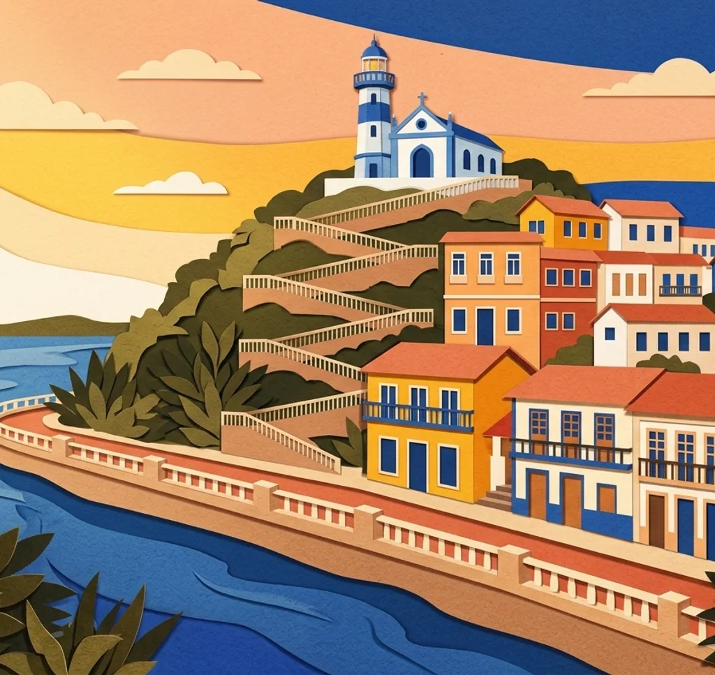
The steps on Cerro Santa Ana lead towards a lighthouse and pass murals. Photograph a section of the staircase from the side, keeping the path clear for others.
Search Google MapsParque Seminario
Parque Seminario is also known for its iguanas. If you photograph an animal, keep your distance and include a little of the surrounding park.
Search Google MapsCalle Panamá
Calle Panamá lies in the city’s central visitor area. Try a perspective along the street, using its buildings to create depth.
Search Google MapsPuerto Santa Ana
Puerto Santa Ana is one of the city’s waterfront destinations. Frame a waterside view with enough foreground to show where it was taken.
Search Google MapsMalecón del Salado
The Malecón del Salado offers another waterside walk. Look for a long view along the edge instead of placing every element in the centre.
Search Google MapsParque Samanes
Parque Samanes is a large recreational park mentioned by the municipality. Look for a composition that uses a path to lead through the green space.
Search Google Maps