Gyeongju / 10 photo spots
10 Instagram spots around Gyeongju
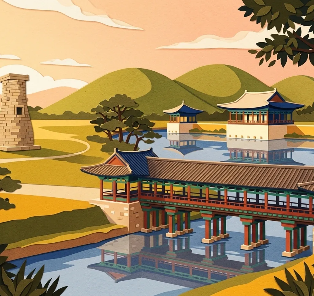
Gyeongju’s photo subjects include Silla-era monuments, rounded burial mounds, historic streets and a lake. These locations offer varied perspectives across the former capital.
Explore the map
Photo spots on the map
1 of 10 photo ideas has sourced location coordinates. The initial view is for orientation. An area marker does not indicate an exact photo position.
Select a highlighted number to show its sourced location on the map. Every name links to the photo spot.
If the map does not load, use the OpenStreetMap link or the photo spot list.
Map data: © OpenStreetMap contributors, ODbL.
Destination reference: GeoNames (CC BY 4.0). Spot coordinates: Wikidata, CC0. Selection, association and some calculations by You, Me, Away.
Cheomseongdae Observatory
Cheomseongdae is a cylindrical stone observatory dating from the Silla period. Photograph it from the surrounding visitor area with some space above the tower, letting its stacked stone courses remain the subject.
Search Google MapsWoljeonggyo Bridge
Rebuilt Woljeonggyo crosses the Namcheon with a decorated wooden pavilion. From the stream bank, frame the bridge across the water and include its reflection when the surface is calm, especially after illumination.
Search Google MapsDonggung Palace and Wolji Pond
At Donggung Palace, pavilions are reflected in Wolji Pond after dark. From the visitor route beside the pond, place a pavilion above its reflection. Admission is generally required, so check entry conditions before visiting.
Search Google MapsDaereungwon Tomb Complex
The burial mounds at Daereungwon form rounded silhouettes across the park. From a visitor path, photograph several mounds together and use the spaces between them to show their scale. Stay off the tombs.
Search Google MapsGyerim Forest
Gyerim Forest stands between Cheomseongdae and Wolseong and contains old zelkova and willow trees. Follow the public path and layer several trunks in the frame, leaving the forest floor visible for depth.
Search Google MapsGyochon Traditional Village
Gyochon preserves traditional hanok houses, including the historic Choi family residence. From a public lane, frame the rooflines and walls together. Keep entrances clear and respect the privacy of anyone using the buildings.
Search Google MapsHwangnyongsa Temple Site
At the former Hwangnyongsa Temple, foundation stones remain across an open site. From the visitor route, include several stone bases and the surrounding ground in a wide frame to convey the scale of the lost complex.
Search Google MapsBomunho Lake
A walking and cycling path follows Bomunho Lake, with cherry trees along parts of the shore. In spring, frame a branch above the water and leave room for its reflection when blossoms are present.
Search Google MapsPoseokjeong Pavilion Site
The pavilion at Poseokjeong has disappeared, but its curved stone water channel remains. After entering the site, photograph the channel from beside it to show its shape and the surrounding setting. Admission is generally required.
Search Google MapsHwangnidan Street
Hwangnidan Street mixes cafés and shops in hanok buildings with older modern structures. Photograph along the public street to show the changing façades and rooflines, leaving space for people moving through the scene.
Search Google MapsSources for these photo spots
- Korea Tourism Organization: Cheomseongdae Observatory
- Korea Tourism Organization: Woljeonggyo Bridge
- Korea Tourism Organization: The Ultimate 2-Day Gyeongju Itinerary
- Korea Tourism Organization: Donggung Palace and Wolji Pond
- Korea Tourism Organization: Relaxing Picnic in Gyeongju
- Korea Tourism Organization: Daereungwon Ancient Tomb Complex
- Korea Tourism Organization: Gyerim Forest
- Korea Tourism Organization: Gyeongju Food Trail
- Gyeongju Tourism: Hwangnyongsa Temple Site
- Korea Tourism Organization: Poseokjeong Pavilion Site
- Korea Tourism Organization: Hwangnidan Street