Heidelberg / 10 photo spots
10 Instagram spots around Heidelberg
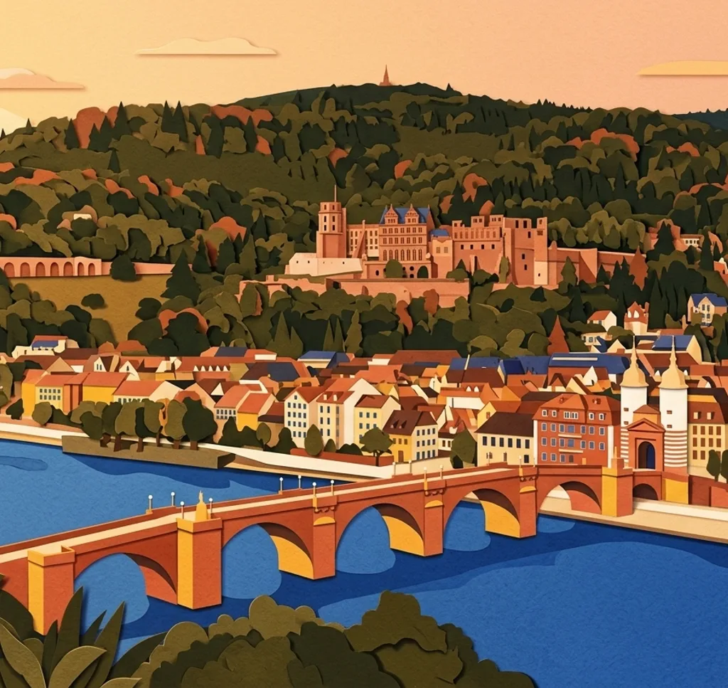
Heidelberg's old town, riverside paths and wooded hills offer views at different heights. These ideas range from close architectural details to wide scenes across the Neckar valley.
Explore the map
Photo spots on the map
0 of 10 photo ideas have sourced location coordinates. The initial view is for orientation. An area marker does not indicate an exact photo position.
Select a highlighted number to show its sourced location on the map. Every name links to the photo spot.
If the map does not load, use the OpenStreetMap link or the photo spot list.
Map data: © OpenStreetMap contributors, ODbL.
Destination reference: GeoNames (CC BY 4.0). Spot coordinates: Wikidata, CC0. Selection, association and some calculations by You, Me, Away.
Philosophers' Walk
The Philosophenweg runs along the hillside above the Neckar. Choose an open stretch of the path and frame the river below the old town and castle, letting the hillside form the upper edge.
Search Google MapsOld Bridge
The red sandstone Alte Brücke crosses the Neckar in arches. On the pedestrian route, use its stone railing to lead towards the bridge gate on the old-town side.
Search Google MapsHeidelberg Castle Garden
The castle garden has terraces overlooking the castle and Neckar valley. From a garden path, use a terrace edge to separate nearby greenery from the roofs below. Commercial photography and photo shoots need prior approval from the castle administration.
Search Google MapsJesuit Church
The Jesuitenkirche has a baroque gabled façade at its main entrance. From the public space outside, pick out the doorway and a section of the façade for a closer architectural view.
Search Google MapsNeckarwiese
From the riverside Neckarwiese, photograph the old town across the water with the castle above it. Leave a strip of grass in the foreground to show the viewpoint on the near bank.
Search Google MapsUniversity Square
The Old University faces Heidelberg's University Square. From the square, use a tight composition of its baroque façade and roofline to show the building from the square.
Search Google MapsKornmarkt
At Kornmarkt, the castle rises on the hillside behind the old-town square. Use the open space of the square below the castle to give the hillside building context.
Search Google MapsMarket Square and Church of the Holy Spirit
The Church of the Holy Spirit borders Heidelberg's Marktplatz. From the square, include a slice of the surrounding façades alongside the church to show its place in the old town.
Search Google MapsKarlstor
Karlstor marks the eastern end of Heidelberg's old town. From the pavement, look for a close view of the stone gateway and its arch while keeping the nearby road out of the foreground.
Search Google MapsKönigstuhl
Königstuhl is a separate hilltop outing above Heidelberg. From the viewpoint, try a wide image that places the town and castle within the larger landscape of the Neckar valley.
Search Google MapsSources for these photo spots
- Stadt Heidelberg: Sehenswertes
- Stadt Heidelberg: Alte Brücke
- Stadt Heidelberg: Brückentor
- Schloss Heidelberg: Der Schlossgarten
- Schloss Heidelberg: Besuchshinweise
- Stiftungen der Erzdiözese Freiburg: Jesuitenkirche
- Heidelberg Marketing: Heidelberg entdecken
- Universität Heidelberg: Geschichte der Alten Universität
- Heidelberg Marketing: Sehenswürdigkeiten
- Stadt Heidelberg: Denkmäler