Hermanus / 8 photo spots
8 Instagram spots around Hermanus
Hermanus has rocky coves, beaches and viewpoints facing Walker Bay. Stay on open paths and away from cliff edges, and check the tide and local notices before visiting the coast.
Explore the map
Photo spots on the map
0 of 8 photo ideas have sourced location coordinates. The initial view is for orientation. An area marker does not indicate an exact photo position.
Select a highlighted number to show its sourced location on the map. Every name links to the photo spot.
If the map does not load, use the OpenStreetMap link or the photo spot list.
Map data: © OpenStreetMap contributors, ODbL.
Destination reference: GeoNames (CC BY 4.0). Spot coordinates: Wikidata, CC0. Selection, association and some calculations by You, Me, Away.
Gearing’s Point
Gearing’s Point is a lookout over Walker Bay. Compose the open water from the established viewpoint. Whales may appear seasonally, but sightings are never certain.
Search Google MapsOld Harbour overlook
From the public waterfront above the Old Harbour, look down toward the historic harbour and the bay. Use a wider frame to include the curve of the shore.
Search Google MapsWhale Tail Fountain
The Whale Tail Fountain stands opposite the Hermanus Waterfront. Photograph the sculpture from the public plaza and leave the roadway clear.
Search Google MapsFick’s Pool
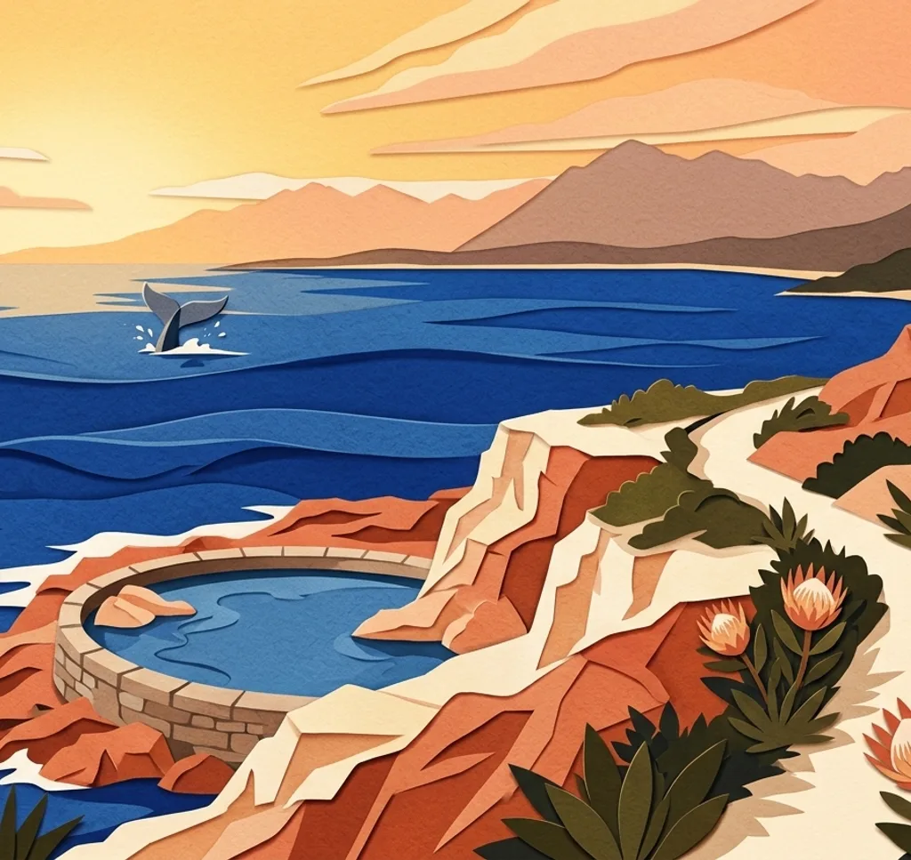
Fick’s Pool is a tidal pool along the Cliff Path in Westcliff. From the open path above, frame the pool among the rocks without approaching the water or cliff edge.
Search Google MapsGrotto Beach
Grotto Beach has a broad sweep of sand beside Walker Bay. From the beach, use the shoreline to guide the eye into the distance and watch the waves and tide.
Search Google MapsKammabaai Beach
Kammabaai is a small beach divided by rocks. From dry sand, include the cove and rocks in one frame. The beach becomes smaller at high tide.
Search Google MapsVoëlklip Beach
At Voëlklip Beach, a grassy area overlooks the surf. Use the grass as a foreground for the beach and waves. Much of the sand disappears at high tide.
Search Google MapsOnrus Beach
Onrus Beach is west of central Hermanus. Frame the beach and surf from the sand, leaving distance from the water.
Search Google MapsSources for these photo spots
- Cape Whale Coast, Hermanus visitor map
- Cape Whale Coast, shore viewpoints
- Overstrand Municipality, Hermanus Waterfront and Whale Tail
- Hermanus Waterfront, centre information
- Hermanus Botanical Society, Cliff Path landmarks
- Hermanus Tourism, Cliff Path and Fick’s Pool
- Cape Whale Coast, Hermanus beaches
- Cape Whale Coast, outdoor activities and beaches