Innsbruck / 10 photo spots
10 Instagram spots around Innsbruck
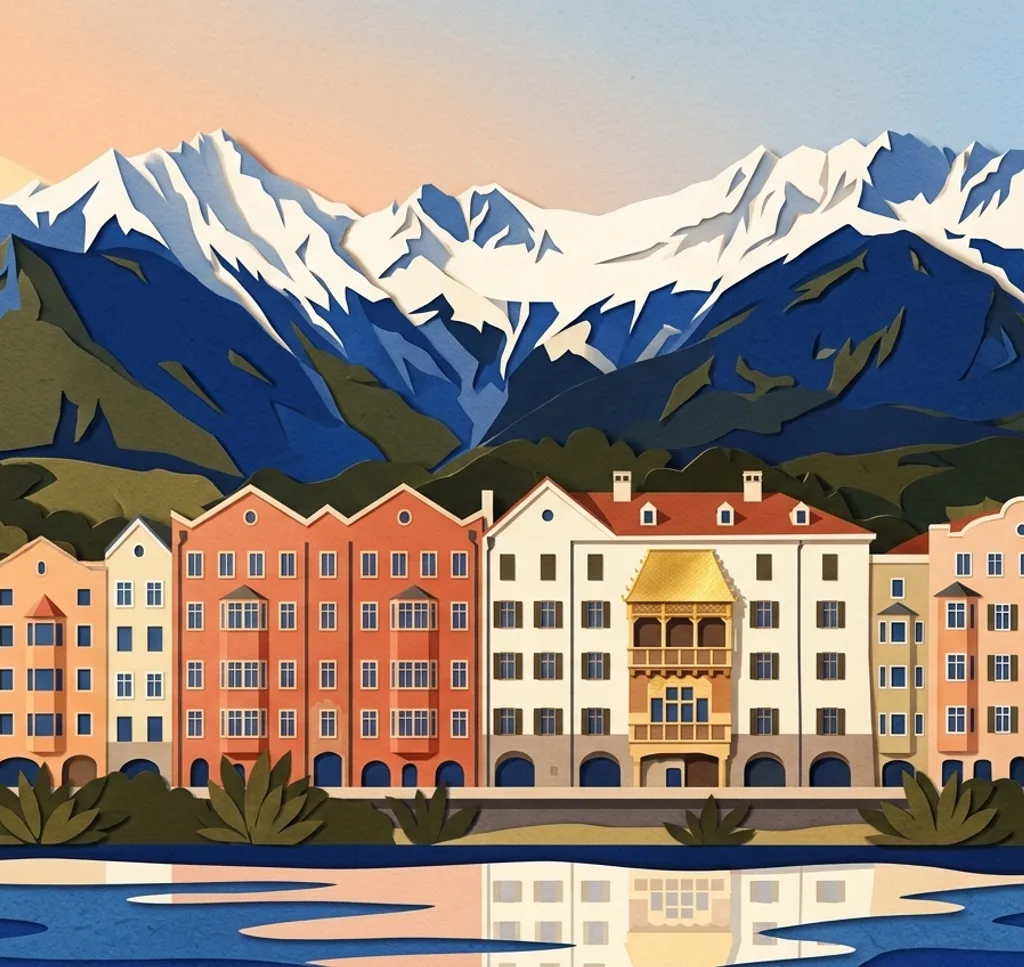
In Innsbruck, riverside streets and historic façades sit close to gardens and mountain viewpoints. These ten photo ideas include central places and separate trips above the city.
Explore the map
Photo spots on the map
0 of 10 photo ideas have sourced location coordinates. The initial view is for orientation. An area marker does not indicate an exact photo position.
Select a highlighted number to show its sourced location on the map. Every name links to the photo spot.
If the map does not load, use the OpenStreetMap link or the photo spot list.
Map data: © OpenStreetMap contributors, ODbL.
Destination reference: GeoNames (CC BY 4.0). Spot coordinates: Wikidata, CC0. Selection, association and some calculations by You, Me, Away.
Hofgarten Pavilion
The Hofgarten lies beside the Hofburg and has a pavilion among mature trees. From a garden path, frame the pavilion with the surrounding trees. Check the park's hours. Commercial photography requires written permission from the Austrian Federal Gardens or the property authority.
Search Google MapsInnbrücke and St. Nikolaus houses
The Innbrücke links the old town with St. Nikolaus and Mariahilf, where colourful houses line the river. From the old-town riverbank, use the Inn as a foreground for a section of the row.
Search Google MapsGolden Roof
The Golden Roof is a decorated oriel in the old town. From its open forecourt, isolate the gilded roof and the relief band below it for a closer view.
Search Google MapsMaria-Theresien-Straße
Maria-Theresien-Straße is a pedestrian street lined with historic palaces and modern shops. Choose a façade detail and use the paving to lead the eye into the street.
Search Google MapsTriumphal Arch
The Triumphpforte stands at the end of Maria-Theresien-Straße. From the pavement, crop into one side of the arch and its reliefs while allowing for the traffic around it.
Search Google MapsAmbras Castle Park
The park at Schloss Ambras includes wooded ground and small bridges. From a park path, use a bridge or the path itself to lead into the greenery. Check opening times. Commercial photography needs written permission from the Austrian Federal Gardens or the property authority.
Search Google MapsLandhausplatz
The contemporary Landhausplatz combines ramps and monuments close to Maria-Theresien-Straße. Use the edges of the shaped surfaces for a graphic composition, leaving room for people on the square.
Search Google MapsWilten Basilica
The Basilika Wilten is a Rococo church south of the old town. From the surrounding public space, photograph the exterior façade and let the roofline define the upper edge of the frame.
Search Google MapsSt. James' Cathedral
The cathedral stands on Innsbruck's Domplatz. Move closer to the façade and frame a detail of its entrance with the surrounding stonework from the square.
Search Google MapsHermann-Buhl-Platz at Hungerburg
Hermann-Buhl-Platz is a viewpoint above Innsbruck near the Hungerburgbahn's upper station. Photograph the city as a band between the foreground hillside and the mountains beyond. Reaching it is a separate trip from the centre.
Search Google MapsSources for these photo spots
- Innsbruck Tourismus: Hofgarten
- Österreichische Bundesgärten: Parkordnung Innsbruck
- Innsbruck Tourismus: Innbrücke
- Innsbruck Tourismus: Goldenes Dachl
- Innsbruck Tourismus: Maria-Theresien-Straße
- Innsbruck Tourismus: Triumphpforte
- Schloss Ambras: Schlosspark
- Österreichische Bundesgärten: Öffnungszeiten
- Innsbruck Tourismus: Eduard-Wallnöfer-Platz
- Innsbruck Tourismus: Basilika Wilten
- Innsbruck Tourismus: Dom zu St. Jakob
- Innsbruck Tourismus: Stadtansicht und Hermann-Buhl-Platz