Kanazawa / 10 photo spots
10 Instagram spots around Kanazawa
Kanazawa combines historic teahouse streets, gardens and contemporary architecture. These photo ideas use streets, waterside paths and outdoor spaces across the city.
Explore the map
Photo spots on the map
0 of 10 photo ideas have sourced location coordinates. The initial view is for orientation. An area marker does not indicate an exact photo position.
Select a highlighted number to show its sourced location on the map. Every name links to the photo spot.
If the map does not load, use the OpenStreetMap link or the photo spot list.
Map data: © OpenStreetMap contributors, ODbL.
Destination reference: GeoNames (CC BY 4.0). Spot coordinates: Wikidata, CC0. Selection, association and some calculations by You, Me, Away.
Tsuzumi-mon Gate
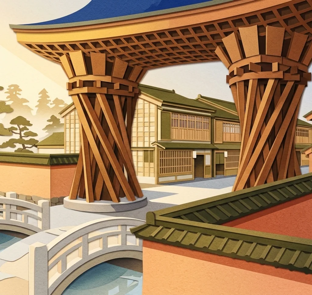
The wooden Tsuzumi-mon Gate stands by Kanazawa Station’s glass Motenashi Dome. From the station’s east square, frame the gate’s two curved pillars against the geometric canopy, leaving room for the full structure.
Search Google MapsHigashi Chaya District
Higashi Chaya’s traditional teahouses have distinctive wooden latticework along their lower floors. From Hiromi square, look along the street for a layered view of the façades. Give residents space and ask before photographing geisha.
Search Google MapsKazuemachi Chaya District
Kazuemachi’s traditional teahouses stand beside the Asanogawa River. Cross to the opposite bank for a view of the waterfront façades, using the river in the foreground. The narrow streets remain a working neighbourhood.
Search Google MapsNagamachi Samurai District
Nagamachi preserves narrow streets and earthen walls associated with its former samurai residences. Walk an alley and use the walls to lead the eye through the frame. The area is residential, so keep entrances clear.
Search Google MapsKenrokuen Garden and Kasumigaike
Kenrokuen’s Kasumigaike pond contains Horai Island and is surrounded by changing seasonal planting. From a garden path, place the island beyond the water and leave space around it to show the pond’s scale.
Search Google MapsKanazawa Castle Park
Kanazawa Castle Park combines historic stone walls with the Ishikawa-mon Gate, rebuilt in 1788. From the approach, include the masonry beneath the gate to contrast its textured surface with the pale walls above.
Search Google MapsGyokusen-inmaru Garden
This restored garden sits inside Kanazawa Castle Park, with a pond below distinctive stone walls. Follow the pond path and compose across the water toward the walls to show the change in elevation.
Search Google MapsNishi Chaya District
Nishi Chaya is a compact teahouse district whose main street is lined with lattice-fronted buildings. Photograph along the street to show several façades together, while leaving doorways and the route open for people passing.
Search Google MapsUme-no Hashi Bridge
The pedestrian-only Ume-no Hashi crosses the Asanogawa near Higashi Chaya. From the riverbank by its end, include the wooden-style bridge and a strip of water to make the crossing clear in the frame.
Search Google Maps21st Century Museum of Contemporary Art
The museum’s circular glass walls sit in a park-like setting. From outside, frame a curve of façade with the grounds in front. Check outdoor access during the planned closure from May 2027 to March 2028.
Search Google MapsSources for these photo spots
- Visit Kanazawa: Tsuzumi-mon and Motenashi Dome
- Visit Kanazawa: Higashi Chaya District
- Visit Kanazawa: Higashi Chaya District guide
- Visit Kanazawa: visitor etiquette
- Visit Kanazawa: Kazue-machi Chaya District
- Visit Kanazawa: Nagamachi Samurai District
- Visit Kanazawa: Nagamachi guide
- Visit Kanazawa: Kenrokuen Garden
- Visit Kanazawa: Kanazawa Castle Park
- Visit Kanazawa: Gyokusen-inmaru Garden
- Visit Kanazawa: Nishi Chaya District
- Visit Kanazawa: Ume-no Hashi Bridge
- Visit Kanazawa: Art and nature walking course
- Visit Kanazawa: 21st Century Museum
- Visit Kanazawa: Tsuzumi-mon architecture