Keelung / 8 photo spots
8 Instagram spots around Keelung
Keelung on Taiwan’s north coast is a port city with harbor architecture, coastal parks and a busy night market. The spots are spread between the city center and the eastern shoreline.
Explore the map
Photo spots on the map
0 of 8 photo ideas have sourced location coordinates. The initial view is for orientation. An area marker does not indicate an exact photo position.
Select a highlighted number to show its sourced location on the map. Every name links to the photo spot.
If the map does not load, use the OpenStreetMap link or the photo spot list.
Map data: © OpenStreetMap contributors, ODbL.
Destination reference: GeoNames (CC BY 4.0). Spot coordinates: Wikidata, CC0. Selection, association and some calculations by You, Me, Away.
Keelung Miaokou Night Market
Miaokou Night Market gathers food stalls around Ren 3rd Road. Look for a row of signs or a small group of dishes, and ask stallholders before close-up photos.
Search Google MapsMaritime Plaza
Maritime Plaza is beside Keelung Port. Use the open waterfront as foreground and arrange the harbor structures across the background.
Search Google MapsKeelung Tower
Keelung Tower links the lower city with the hillside. The tourism authority lists its elevator and fourth-floor passage as under renovation, so check access before visiting. Frame the tower’s vertical structure from the surrounding area.
Search Google MapsZhengbin Fishing Port
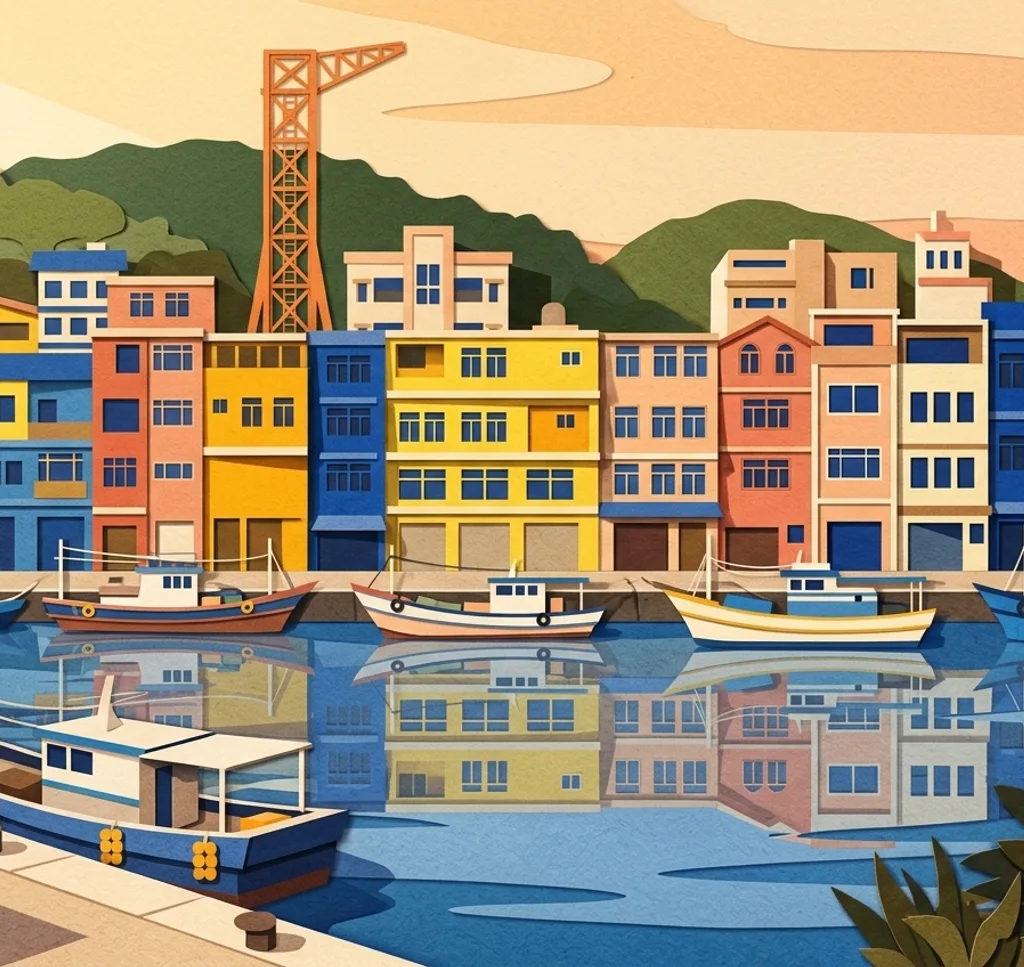
Colorful façades line part of Zhengbin Fishing Port. Photograph the row from across the water when the view is clear, without blocking the waterfront.
Search Google MapsHeping Island Geopark
Heping Island Geopark has wave-shaped rock formations along the coast. Use a path or the edge of a rock formation to create depth, and follow the park’s access rules.
Search Google MapsChaojing Park
Chaojing Park combines coastal scenery with large outdoor art installations. Use the coast as context for one installation rather than filling the frame with it.
Search Google MapsWangyou Valley
Wangyou Valley is a grassy coastal landscape above the Badouzi area. From an approved viewpoint, use the curves of the slope to lead the eye toward the sea.
Search Google MapsSino-French War Memorial Park
This memorial park in Keelung contains a French military cemetery associated with the Sino-French War. If photographing, keep a respectful distance from graves and visitors and follow local rules.
Search Google MapsSources for these photo spots
- Keelung City Government: Mountain and Sea Tour
- Keelung City Government: Zhengbin Fishing Port Colorful House
- Keelung City Government: Chaojing Park
- Taiwan Tourism Administration: Badouzi Coastal Park and Wangyou Valley
- Keelung City Cultural and Tourism Bureau: Sino-French War Memorial Park
- Taiwan Tourism Administration: Keelung Tower