Key West / 8 photo spots
8 Instagram spots around Key West
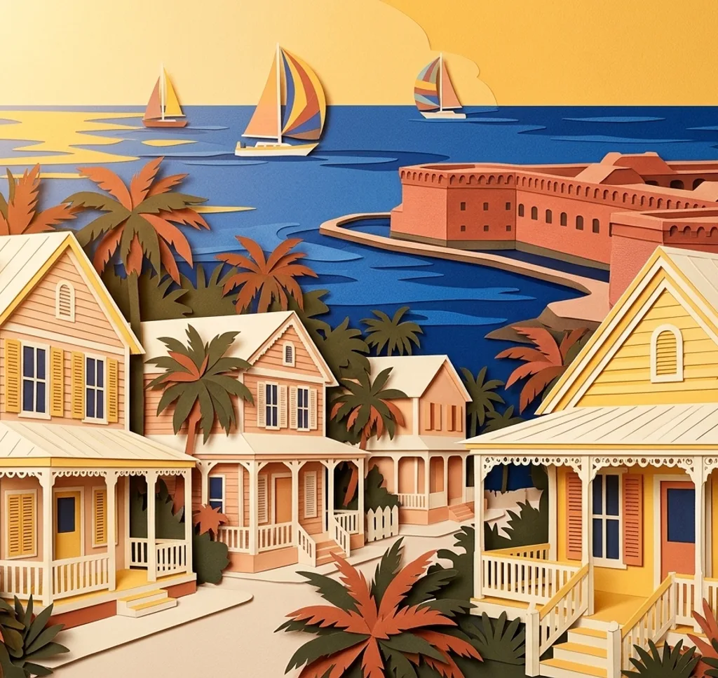
Key West combines harbour views with a lighthouse and historic brick buildings. These photo ideas move between the waterfront and other parts of the island.
Explore the map
Photo spots on the map
0 of 8 photo ideas have sourced location coordinates. The initial view is for orientation. An area marker does not indicate an exact photo position.
Select a highlighted number to show its sourced location on the map. Every name links to the photo spot.
If the map does not load, use the OpenStreetMap link or the photo spot list.
Map data: © OpenStreetMap contributors, ODbL.
Destination reference: GeoNames (CC BY 4.0). Spot coordinates: Wikidata, CC0. Selection, association and some calculations by You, Me, Away.
Mallory Square
Mallory Square sits at the waterfront in the historic Old Town. Photograph the open water from the square, leaving room for the line of the quay in the foreground.
Search Google MapsSouthernmost Point Buoy (temporary), 1499 Duval Street
A temporary Southernmost Point buoy has been set up at the southern end of Duval Street while road and seawall work continues. Check the city’s latest location update before going.
Search Google MapsFort Zachary Taylor
Fort Zachary Taylor has red-brick corridors and historic gun ports. Look for a composition along a corridor, and check current access and photography conditions with the park.
Search Google MapsFort Zachary Taylor Beach
The state park also includes a beach at its southern end. Use the shoreline to lead the eye through the frame, keeping visitors and wildlife undisturbed.
Search Google MapsKey West Lighthouse
The lighthouse and keeper’s quarters are preserved by the local historical society. Frame the tower with a little space around its top, or focus on the contrast between tower and keeper’s house.
Search Google MapsCustom House Museum
The former Custom House now houses the Key West Museum of Art & History. From outside, look for a frontal composition that makes its masonry and entrance the subject.
Search Google MapsFort East Martello
Fort East Martello is a preserved Civil War-era fort and museum. Photograph its brickwork as an exterior detail, and consult the museum before planning photographs inside.
Search Google MapsKey West Bight Marina
Key West Bight Marina sits on the northwest side of the island. From a public waterfront area, frame the masts and boats in layers without obstructing marina access.
Search Google MapsSources for these photo spots
- City of Key West: Mallory Square
- City of Key West: Temporary Southernmost Buoy
- City of Key West: Southernmost Point roadworks
- Florida State Parks: Fort Zachary Taylor
- Key West Art & Historical Society: Its museums
- Key West Art & Historical Society: Fort East Martello
- City of Key West: Directions to Key West Bight Marina