Kobe / 10 photo spots
10 Instagram spots around Kobe
Kobe stretches between the port and the mountains. These ideas bring together waterfront paths, historic streets, a waterfall and designated viewpoints.
Explore the map
Photo spots on the map
0 of 10 photo ideas have sourced location coordinates. The initial view is for orientation. An area marker does not indicate an exact photo position.
Select a highlighted number to show its sourced location on the map. Every name links to the photo spot.
If the map does not load, use the OpenStreetMap link or the photo spot list.
Map data: © OpenStreetMap contributors, ODbL.
Destination reference: GeoNames (CC BY 4.0). Spot coordinates: Wikidata, CC0. Selection, association and some calculations by You, Me, Away.
Azur Maiko
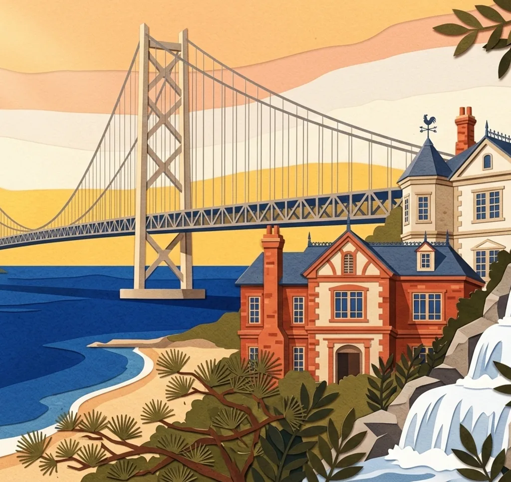
At Azur Maiko on Kobe’s western waterfront, the Akashi Kaikyo Bridge rises beyond the shore. From the promenade, use the edge of the water to lead the eye towards the suspension bridge.
Search Google MapsMotomachi Shopping Street
The entrance to Motomachi Shopping Street has a stained-glass arch. Photograph the arch from the pedestrian approach and include the covered arcade beyond it.
Search Google MapsNunobiki Falls
The Nunobiki Falls are reached on foot from Shin-Kobe Station. From the established walking path, pick one cascade and use the surrounding trees as a frame.
Search Google MapsFormer Foreign Settlement
In the former foreign settlement south of Sannomiya, older European-style buildings stand among contemporary shops. From the pavement, pair a historic façade with a modern street detail.
Search Google MapsKobe Harborland Brick Warehouse
The waterfront in Harborland retains the Kobe Brick Warehouse. Stand back on the waterside route and photograph a section of the brick façade, leaving passersby room to move.
Search Google MapsKikuseidai Observation Platform
Kikuseidai on Mount Maya looks over Kobe and Osaka. From the viewing platform, compose the city as a wide strip beneath the horizon. Check transport operation before heading up.
Search Google MapsNankinmachi Chinatown
Nankinmachi is Kobe’s Chinatown, with food shops and restaurants along its streets. Look for a composition of shop signs and lanterns from the pedestrian route, keeping entrances clear.
Search Google MapsKobe Port Tower from Meriken Park
The red lattice Port Tower stands beside Meriken Park. From the park, include open space around its outline to show the tower against the sky.
Search Google MapsWeathercock House
The former Thomas residence in Kitano is known for its red-brick exterior and weathercock. From the public approach, crop the façade and roof into a vertical image.
Search Google MapsHigashi Yuenchi Park
Higashi Yuenchi is a green public space in central Kobe with lawns and paths. Use the path edge to connect the garden and the city in one frame.
Search Google MapsSources for these photo spots
- Visit Kobe: BE KOBE Monument at Azur Maiko
- Visit Kobe: Motomachi Shopping Street
- Visit Kobe: Nunobiki Falls
- Visit Kobe: Area Guide
- Visit Kobe: Kobe Harborland
- Visit Kobe: Mt. Maya Kikuseidai Observation Platform
- Visit Kobe: Kobe Chinatown
- Visit Kobe: Kobe Port Tower
- Visit Kobe: Meriken Park
- Visit Kobe: Weathercock House
- City of Kobe: Higashi Yuenchi Park
- Kobe Parks and Greenery Association: Park Use FAQ