La Digue / 8 photo spots
8 Instagram spots around La Digue
La Digue pairs granite-lined shores with an estate, a nature reserve and a small harbour. These eight ideas cover different parts of the Seychelles island.
Explore the map
Photo spots on the map
0 of 8 photo ideas have sourced location coordinates. The initial view is for orientation. An area marker does not indicate an exact photo position.
Select a highlighted number to show its sourced location on the map. Every name links to the photo spot.
If the map does not load, use the OpenStreetMap link or the photo spot list.
Map data: © OpenStreetMap contributors, ODbL.
Destination reference: GeoNames (CC BY 4.0). Spot coordinates: Wikidata, CC0. Selection, association and some calculations by You, Me, Away.
Anse Source d’Argent
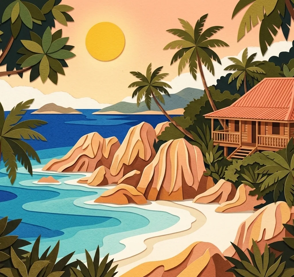
Granite boulders define the shoreline at Anse Source d’Argent. Use one rock as a foreground anchor and leave room for the sea. Access is through L’Union Estate, so check its current arrangements.
Search Google MapsL’Union Estate
L’Union Estate preserves elements of the island’s plantation history. Look for the contrast between the historic estate buildings and the surrounding vegetation, and follow the site’s visitor and photography rules.
Search Google MapsGrand Anse
Grand Anse gives you a broad coastal subject on La Digue. Compose a horizontal view with a strip of sand in front and the shore behind. Check current sea and weather conditions rather than assuming the water is safe.
Search Google MapsPetite Anse
Petite Anse lies on the coastal route beyond Grand Anse. Frame the curve of the bay with its shoreline in the foreground. An older Seychelles parks leaflet lists the Grand Anse to Petite Anse trail as unofficial and strongly recommends a licensed guide for unofficial trails. Ask locally about current trail conditions and access.
Search Google MapsAnse Cocos
Anse Cocos is a bay on La Digue’s eastern side. Use the shore and vegetation as layers in a wide photograph. An older Seychelles parks leaflet lists the route as unofficial and strongly recommends a licensed guide for unofficial trails. Ask locally about the current route and conditions before setting out.
Search Google MapsAnse Patates
Anse Patates lies near the northern tip of La Digue. Try a close view of the sand before widening the frame to include the shoreline and water.
Search Google MapsVeuve Special Reserve
The Veuve reserve protects lowland forest on La Digue. Use the visitor trail for a photograph of the woodland and leave wildlife undisturbed. The parks authority charges admission for non-citizens older than twelve; check current opening times and entry conditions.
Search Google MapsLa Passe Jetty
La Passe is the arrival point for boats on La Digue. A harbour view can give context to the island journey; keep the jetty and boarding routes clear.
Search Google MapsSources for these photo spots
- Tourism Seychelles, La Digue
- Tourism Seychelles, beaches including La Digue
- Tourism Seychelles, hiking trails
- Tourism Seychelles, Veuve Special Reserve
- Tourism Seychelles, L’Union Estate
- Seychelles tourism department and parks authority, Nature Walks and Trails, older leaflet
- Seychelles National Parks Authority, Anse Caiman Nature Trail leaflet
- Seychelles Parks and Gardens Authority, visitor information