Launceston / 10 photo spots
10 Instagram spots around Launceston
Launceston in Tasmania combines river walks, gardens and the steep-sided Cataract Gorge. Tamar Wetlands is a short trip north of the city.
Explore the map
Photo spots on the map
0 of 10 photo ideas have sourced location coordinates. The initial view is for orientation. An area marker does not indicate an exact photo position.
Select a highlighted number to show its sourced location on the map. Every name links to the photo spot.
If the map does not load, use the OpenStreetMap link or the photo spot list.
Map data: © OpenStreetMap contributors, ODbL.
Destination reference: GeoNames (CC BY 4.0). Spot coordinates: Wikidata, CC0. Selection, association and some calculations by You, Me, Away.
First Basin
At Cataract Gorge, the First Basin lawns sit beside the water and trails. From an open section of lawn, frame the basin with the surrounding wooded slopes.
Search Google MapsAlexandra Suspension Bridge
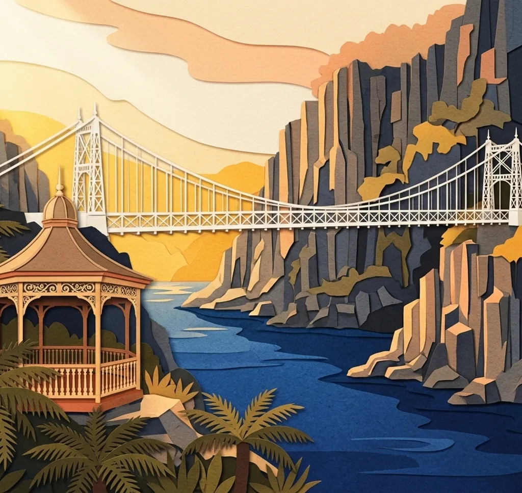
The Alexandra Suspension Bridge crosses Cataract Gorge near First Basin. Photograph its lines from the bridge approach, allowing other walkers room to pass.
Search Google MapsCliff Grounds Rotunda
The Cliff Grounds on the northern side of Cataract Gorge contain a Victorian garden and historic rotunda. Use the garden path to lead the eye towards the rotunda. The grounds are accessible from Gorge Road. The Trevallyn Steps were closed on 7 November 2026.
Search Google MapsCity Park Duck Pond
In City Park, photograph the duck pond and surrounding mature trees from an open path. Keep your distance from the birds and leave the path clear. The play area is closed for construction, so follow signs and barriers.
Search Google MapsPrinces Square
The Val d’Osne Fountain stands among mature trees in Princes Square. From a park path, frame the fountain beneath the branches.
Search Google MapsRoyal Park
Royal Park sits beside the Tamar River and has walking paths and boardwalks. From an open riverside path, use the water as a foreground and frame the far bank.
Search Google MapsSeaport Boardwalk
Seaport sits where the North Esk meets the Tamar estuary. From the boardwalk, photograph the marina and boats without blocking the route.
Search Google MapsHeritage Forest Garden
The Native Plant Garden in Heritage Forest has views over Launceston. From a path, pair the local plants in the foreground with the city beyond.
Search Google MapsTamar Wetlands Bird Hide
North of Launceston, the wetlands boardwalk leads to a bird hide overlooking the lagoon. Bring a long lens and photograph any birds quietly from the hide. On 7 November 2026 the route to the hide remained open while other sections were closed for repairs. Check the latest alert and centre access before visiting. Commercial photography needs a Parks and Wildlife Service licence.
Search Google MapsDuck Reach Bridge
At Duck Reach, the suspension bridge overlooks the South Esk River near the former power station. Frame the river from the bridge and check trail notices before setting out. The approach from Corin Street includes steep steps.
Search Google MapsSources for these photo spots
- City of Launceston, Cataract Gorge First Basin
- City of Launceston, Alexandra Suspension Bridge reopening
- City of Launceston, Cliff Grounds
- City of Launceston, current and upcoming works
- City of Launceston, City Park
- City of Launceston, Princes Square
- City of Launceston, Royal Park
- City of Launceston, February 2026 minutes on Royal Park viewing deck
- City of Launceston, Seaport precinct
- City of Launceston, Heritage Forest
- Tasmania Parks and Wildlife Service, Tamar Island wetlands
- Tasmania Parks and Wildlife Service, commercial photography
- City of Launceston, Duck Reach
- City of Launceston, First Basin Track reopens
- City of Launceston, City Park Play Space upgrade