Liverpool / 10 photo spots
10 Instagram spots around Liverpool
Liverpool’s waterfront, Georgian streets and gardens offer varied subjects. Check local notices around the waterfront, where construction affects some routes.
Explore the map
Photo spots on the map
0 of 10 photo ideas have sourced location coordinates. The initial view is for orientation. An area marker does not indicate an exact photo position.
Select a highlighted number to show its sourced location on the map. Every name links to the photo spot.
If the map does not load, use the OpenStreetMap link or the photo spot list.
Map data: © OpenStreetMap contributors, ODbL.
Destination reference: GeoNames (CC BY 4.0). Spot coordinates: Wikidata, CC0. Selection, association and some calculations by You, Me, Away.
Pier Head and the Three Graces
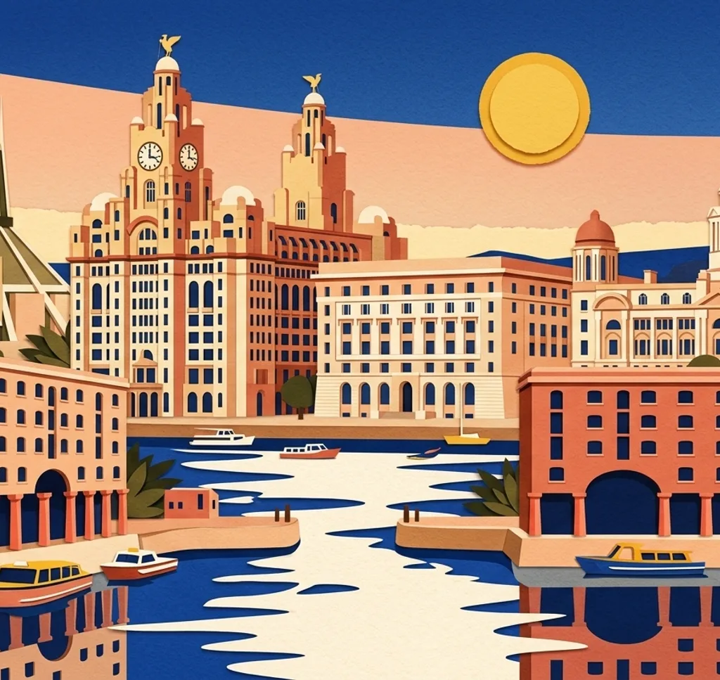
At Pier Head, look back from the waterfront towards the Royal Liver Building, Cunard Building and Port of Liverpool Building. The waterfront route to Albert Dock is closed during works, so follow local diversions.
Search Google MapsThe Beatles Statue
The Beatles Statue stands at Pier Head. From the public plaza, frame the four figures against the waterfront buildings and leave space for other visitors.
Search Google MapsRoyal Albert Dock
At the inner quay of Royal Albert Dock, frame the brick warehouses and their reflection across the water. The route towards Pier Head is affected by works. Ask the dock about commercial photography and the film office about filming permission.
Search Google MapsSefton Park Palm House
In Sefton Park, photograph the Palm House’s glass structure from its visitor grounds. Entry is free, but access varies on opening days and during private events. Check the opening information before visiting and ask the venue about organised shoots.
Search Google MapsLiverpool Cathedral
From an open public approach to Liverpool Cathedral, use a vertical frame for the tower and stone facade. Follow any construction barriers. The cathedral requires prior consent for professional photography on its grounds.
Search Google MapsSt George’s Hall
St George’s Hall faces Lime Street station. From the public space outside, frame its neoclassical columns in a straight-on composition. Events can change the foreground.
Search Google MapsChinese Arch
The Chinese Arch spans Nelson Street at the entrance to Chinatown. From a pavement, pick out the layered roofs and painted details without stepping into traffic.
Search Google MapsMount Street
In the Georgian Quarter, use the pavement on Mount Street to photograph a short row of townhouses. Include doors and windows for rhythm, while keeping clear of private entrances.
Search Google MapsBluecoat Garden
The Bluecoat has a garden in the city centre. From a visitor path, use the trees as a foreground frame and look for a quiet corner of the garden. Check opening information before visiting.
Search Google MapsSt Luke’s Bombed Out Church
At the top of Bold Street, St Luke’s survives as a roofless church. From the public pavement, frame the stone window openings against the sky.
Search Google MapsSources for these photo spots
- VisitLiverpool: Pier Head and the Three Graces
- VisitLiverpool: Explore Liverpool and Wirral by ferry
- VisitLiverpool: Liverpool Waterfront
- VisitLiverpool: Maritime Museum temporary closure
- Liverpool Film Office: Royal Albert Dock Liverpool
- Sefton Park Palm House: Visiting us
- Sefton Park Palm House: Visitor entry
- Sefton Park Palm House: Hire and photo shoots
- Liverpool Cathedral: Opening hours and scheduled changes
- Liverpool Cathedral: Policies
- VisitLiverpool: St George’s Hall
- VisitLiverpool: St George’s Quarter
- VisitLiverpool: Chinese Arch
- VisitLiverpool: Georgian Quarter
- VisitLiverpool: House of Guinness filming locations
- Bluecoat: The Garden
- Bluecoat: Plan your visit
- VisitLiverpool: Free things to do in Liverpool
- VisitLiverpool: Netball guide and St Luke’s Bombed Out Church