Livingstone, Zambia / 8 photo spots
8 Instagram spots around Livingstone, Zambia
Livingstone is a base for the Zambian side of Victoria Falls and the surrounding Zambezi area. The waterfall, bridge and nearby village are separate stops outside the town centre.
Explore the map
Photo spots on the map
0 of 8 photo ideas have sourced location coordinates. The initial view is for orientation. An area marker does not indicate an exact photo position.
Select a highlighted number to show its sourced location on the map. Every name links to the photo spot.
If the map does not load, use the OpenStreetMap link or the photo spot list.
Map data: © OpenStreetMap contributors, ODbL.
Destination reference: GeoNames (CC BY 4.0). Spot coordinates: Wikidata, CC0. Selection, association and some calculations by You, Me, Away.
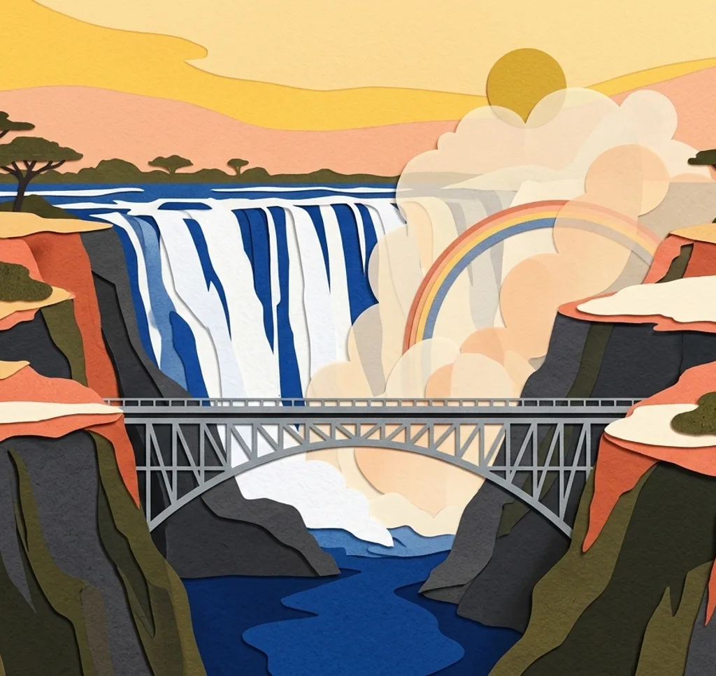
Victoria Falls, Zambian side
The Zambezi drops into a gorge at the border between Zambia and Zimbabwe. Photograph from a designated Zambian viewpoint and protect equipment from spray.
Search Google MapsKnife-edge Bridge
The footbridge on the Zambian falls route offers a different view toward the eastern cataract. Stay on the designated route and consider the water and spray conditions.
Search Google MapsVictoria Falls Bridge
The bridge spans the gorge between Zambia and Zimbabwe. Use an authorised viewpoint to show the structure over the gorge and check border requirements before crossing.
Search Google MapsLivingstone Museum
The museum in Livingstone presents the area’s history and cultural heritage. Start with the exterior and ask about photography rules for the galleries.
Search Google MapsLivingstone Railway Museum
The railway museum in Livingstone has displayed historic locomotives and wagons. Check current access, then look for lines and mechanical details where photography is allowed.
Search Google MapsMosi-oa-Tunya wildlife area
The park’s wildlife area borders Livingstone and the Zambezi. Photograph the riverine landscape or wildlife from permitted routes and follow rangers’ instructions.
Search Google MapsVictoria Falls Curio Market
Livingstone’s district plan lists the Victoria Falls Curio Market for local crafts. Look for details of handmade objects and ask vendors before photographing people or their work.
Search Google MapsMukuni Village
Mukuni is a community near Livingstone. Visit with local permission or a guide, and ask before photographing residents, homes or cultural activities.
Search Google MapsSources for these photo spots
- UNESCO World Heritage Centre, Mosi-oa-Tunya / Victoria Falls
- UNESCO World Heritage Centre, Victoria Falls monitoring mission report
- Livingstone City Council, Integrated Development Plan 2021-2031
- Zambian Ministry of Tourism, Livingstone Museum
- National Assembly of Zambia, museums debate
- Zambian Ministry of Tourism, Livingstone and Mukuni visit