Luxembourg City / 8 photo spots
8 Instagram spots around Luxembourg City
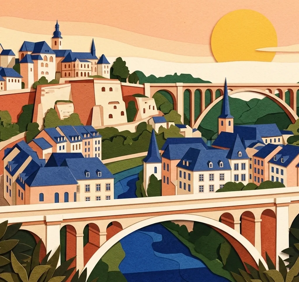
Luxembourg City rises above river valleys, with old fortifications, bridges and modern walkways offering different angles on the city.
Explore the map
Photo spots on the map
2 of 8 photo ideas have sourced location coordinates. The initial view is for orientation. An area marker does not indicate an exact photo position.
Select a highlighted number to show its sourced location on the map. Every name links to the photo spot.
If the map does not load, use the OpenStreetMap link or the photo spot list.
All photo spots
- Grand Ducal PalaceSourced place
- Place d’ArmesApproximate area
Map data: © OpenStreetMap contributors, ODbL.
Destination reference: GeoNames (CC BY 4.0). Spot coordinates: Wikidata, CC0. Selection, association and some calculations by You, Me, Away.
Chemin de la Corniche
The Corniche follows the old ramparts above the Grund and the Alzette valley. From the walkway, include the rooftops below and the Rham plateau in a wide frame.
Search Google MapsPont du Grund
From the footway of Pont du Grund on Rue Münster, look up towards the Corniche above the Alzette. Check the city’s project notices before visiting, as planned bridge works may bring temporary closures.
Search Google MapsAdolphe Bridge walkway
A shared pedestrian and cycle path runs beneath Adolphe Bridge. Photograph the stonework and the Pétrusse valley from the walkway, leaving room for cyclists to pass.
Search Google MapsGrand Ducal Palace
Photograph the ornate palace facade from the public pedestrian area on Rue du Marché-aux-Herbes. A closer crop brings the windows and stone details into focus. This view is outside the palace.
Search Google MapsPlace d’Armes
The Cercle Municipal faces Place d’Armes and has a carved frieze on its facade. From the square, include some open space around the building to show its setting.
Search Google MapsPfaffenthal panoramic lift
The glass lift links the upper city with Pfaffenthal and overlooks the valley. Hold your lens close to the glass to reduce reflections. Check operating hours and monthly maintenance before your visit.
Search Google MapsPark Dräi Eechelen
The park near Fort Thüngen looks across to the upper city. From an open park path, use the green foreground to give the skyline depth. The museum has separate visiting hours.
Search Google MapsPasserelle des Arts
This pedestrian and cycle bridge connects Kirchberg with the area near Park Dräi Eechelen. Use the edges of the bridge deck to lead the eye towards the trees, while leaving space for other users.
Search Google MapsSources for these photo spots
- Luxembourg City Tourist Office: Chemin de la Corniche
- Luxembourg City Tourist Office: bridges in Luxembourg City
- Luxembourg City Tourist Office: cycling in Luxembourg City
- City of Luxembourg: planned Grund works
- Luxembourg City Tourist Office: Grand Ducal Palace
- Luxembourg City Tourist Office: Women, lives and legends walk
- Luxembourg City Tourist Office: Cercle Municipal
- City of Luxembourg: panoramic elevator operating information
- Luxembourg City Tourist Office: Pfaffenthal
- Luxembourg City Tourist Office: city green spaces
- Visit Luxembourg: Parc des Trois Glands
- City of Luxembourg: pedestrian infrastructure