Lyon / 10 photo spots
10 Instagram spots around Lyon
Lyon combines two rivers, historic squares and hillside viewpoints. These photo ideas move from public gardens to architectural details and city panoramas.
Explore the map
Photo spots on the map
2 of 10 photo ideas have sourced location coordinates. The initial view is for orientation. An area marker does not indicate an exact photo position.
Select a highlighted number to show its sourced location on the map. Every name links to the photo spot.
If the map does not load, use the OpenStreetMap link or the photo spot list.
Map data: © OpenStreetMap contributors, ODbL.
Destination reference: GeoNames (CC BY 4.0). Spot coordinates: Wikidata, CC0. Selection, association and some calculations by You, Me, Away.
Parc de la Tête d’Or lake
The lake sits among mature trees in the Parc de la Tête d’Or. From a path on its shore, frame a section of water between the trunks and leave space for the opposite bank.
Search Google MapsPlace des Terreaux
The Bartholdi fountain stands on Place des Terreaux, bordered by City Hall and the former Palais Saint-Pierre. Isolate the horses against one building façade, or widen the frame to show the square around them.
Search Google MapsSaint-Jean Cathedral
Saint-Jean Cathedral faces the cobbled square of the same name in Vieux Lyon. From the square, use the paving as a foreground and leave room above the façade rather than cutting it tightly.
Search Google MapsFourvière Basilica esplanade
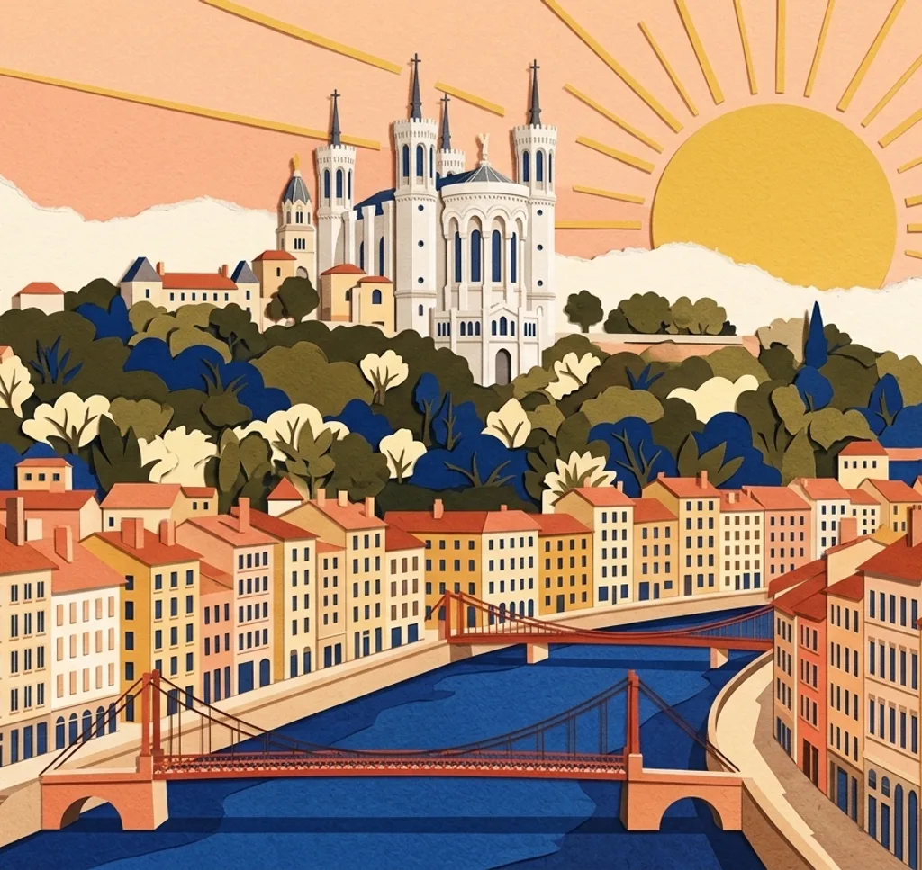
The esplanade beside Fourvière Basilica overlooks Lyon. Choose one part of the city below and compose a tighter view of the rooftops and the surrounding streets.
Search Google MapsJardin des Curiosités
This hillside garden has a viewpoint over Lyon and several sculptural chairs. From a garden path, use one chair near the edge of the composition to give the city view a sense of depth. Check the garden’s opening times.
Search Google MapsMusée des Confluences exterior
At the meeting of the Rhône and Saône, the Musée des Confluences combines glass, concrete and steel. From the public route outside, frame a corner of the building against the sky to emphasise its angular outline.
Search Google MapsMur des Canuts
The painted wall on Boulevard des Canuts depicts buildings and figures in a scene linked to Croix-Rousse. Photograph the façade from the pavement and include a small amount of the surrounding street to show its scale.
Search Google MapsPlace Bellecour
An equestrian statue of Louis XIV occupies the centre of Place Bellecour. Walk around the public square and choose an angle that separates the silhouette of horse and rider from the surrounding buildings.
Search Google MapsRhône terraces at Guillotière
The riverside terraces between Pont Wilson and Pont de la Guillotière give walkers views over the Rhône. Use the edge of a terrace to lead into the water, keeping the opposite bank in the upper part of the frame.
Search Google MapsGrand Hôtel-Dieu on the Rhône
The long façade and Grand Dome of the former Hôtel-Dieu face the Rhône. From a public path on the opposite bank, frame part of the façade together with the dome and leave a strip of water below.
Search Google MapsSources for these photo spots
- Lyon Tourist Office, Tête d’Or Park
- Lyon Tourist Office, Place des Terreaux
- City of Lyon, Cathédrale Saint-Jean
- Lyon Tourist Office, Basilica of Fourvière
- Lyon Tourist Office, Jardin des Curiosités
- Lyon Tourist Office, Musée des Confluences
- City of Lyon, Mur des Canuts
- Lyon Tourist Office, Statue of Louis XIV
- Lyon Tourist Office, Rhône riverbanks
- Lyon Tourist Office, Grand Hôtel-Dieu