Mahé, Seychelles / 8 photo spots
8 Instagram spots around Mahé, Seychelles
Mahé has the capital Victoria, forested hills and coastal beaches. SPGA lists photography fees for its parks and requires written permission in advance for commercial filming. Ask the authority which fees apply.
Explore the map
Photo spots on the map
0 of 8 photo ideas have sourced location coordinates. The initial view is for orientation. An area marker does not indicate an exact photo position.
Select a highlighted number to show its sourced location on the map. Every name links to the photo spot.
If the map does not load, use the OpenStreetMap link or the photo spot list.
Map data: © OpenStreetMap contributors, ODbL.
Destination reference: GeoNames (CC BY 4.0). Spot coordinates: Wikidata, CC0. Selection, association and some calculations by You, Me, Away.
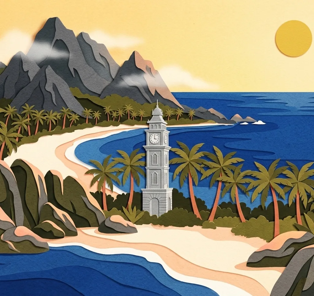
Victoria Clock Tower
Victoria’s clock tower stands at a busy junction. From a safe pavement, use a close vertical frame for the clock and keep traffic and nearby official buildings out of view.
Search Google MapsNavasakthi Vinayagar Temple
The Hindu temple on Quincy Street is a place of worship. From the public pavement, frame an exterior detail and leave space for worshippers. Ask the temple before photographing inside.
Search Google MapsNational Botanical Garden
The National Botanical Garden in Mont Fleuri has palms and ornamental plants. From an established garden path, frame a palm among the surrounding foliage. Admission is charged, and organised photography should be cleared with the garden.
Search Google MapsMission Lodge, Venn’s Town
The viewpoint at Venn’s Town looks over Mahé’s west coast. The site also preserves the history of a school for children of formerly enslaved people. Photograph the landscape respectfully from the viewing lodge and check admission before visiting.
Search Google MapsCopolia Trail
The Copolia Trail climbs through Morne Seychellois National Park to a coastal viewpoint. Include forest and the east coast in the frame from the marked viewing area. A fee applies to many non-residents. Stay back from the exposed edge.
Search Google MapsBeau Vallon Beach
Takamaka trees edge Beau Vallon Beach. From the public sand, frame the bay through their branches and leave room for other beachgoers.
Search Google MapsPort Launay Beach
Port Launay Beach is part of a marine park reachable by land. From the sand, include the tree-lined shore and bay. Non-residents may need a park ticket. Follow local signs and leave corals and marine life undisturbed.
Search Google MapsAnse Royale Beach
Anse Royale lies on Mahé’s southeast coast. From the public beach, use the curve of the bay and the offshore islet for depth. Keep a safe distance from the water in rough conditions.
Search Google MapsSources for these photo spots
- Seychelles State House, Victoria Clock Tower restoration
- Tourism Seychelles, Mahé and Victoria map
- Seychelles State House, Navasakthi Vinayagar Temple
- Seychelles Parks and Gardens Authority, National Botanical Garden
- Seychelles Parks and Gardens Authority, visitor information
- UNESCO, Mission Ruins of Venn’s Town
- Seychelles State House, Mission Lodge viewpoint reopening
- Seychelles government, Heritage Foundation budget 2021
- Seychelles Parks and Gardens Authority, Copolia trail guide
- Seychelles local government, Beau Vallon district
- Seychelles Parks and Gardens Authority, Port Launay
- Seychelles local government, Anse Royale district
- Tourism Seychelles, beach and sea safety guide