Malmö / 9 photo spots
9 Instagram spots in Malmo worth the crossing
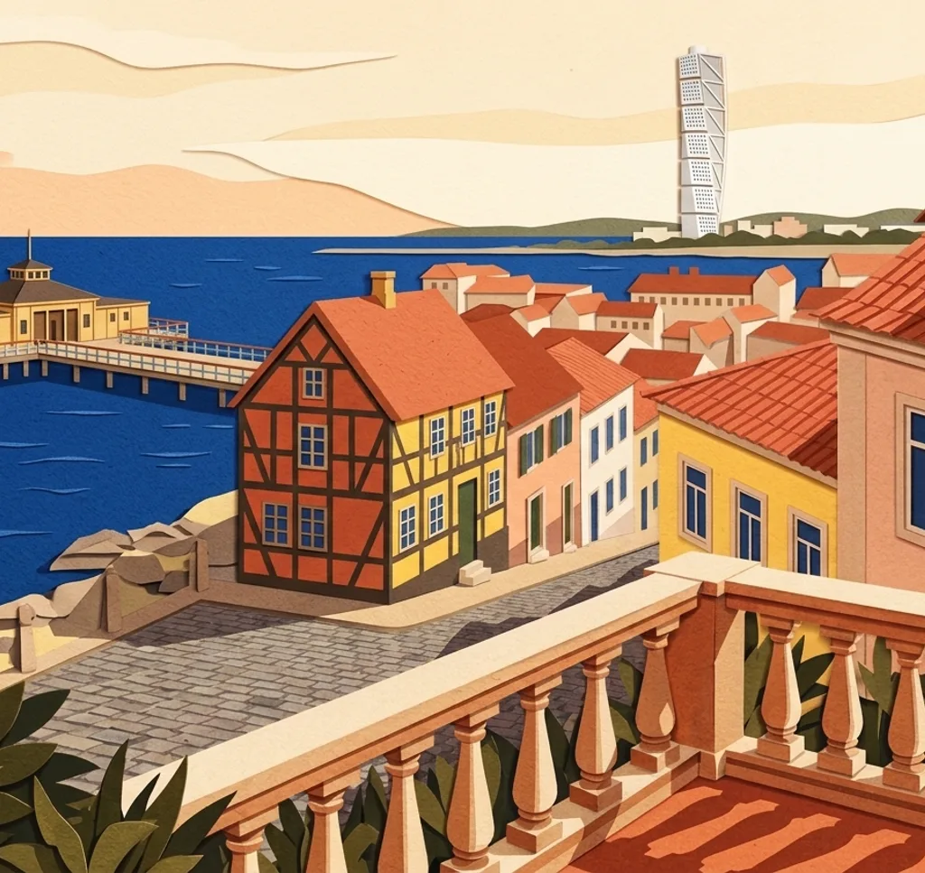
Old lanes, a twisted tower and bathhouses on stilts: Malmo is compact and easy to cover. These 9 spots are the walk.
Explore the map
Photo spots on the map
0 of 9 photo ideas have sourced location coordinates. The initial view is for orientation. An area marker does not indicate an exact photo position.
Select a highlighted number to show its sourced location on the map. Every name links to the photo spot.
If the map does not load, use the OpenStreetMap link or the photo spot list.
Map data: © OpenStreetMap contributors, ODbL.
Destination reference: GeoNames (CC BY 4.0). Spot coordinates: Wikidata, CC0. Selection, association and some calculations by You, Me, Away.
Gamla Väster
The old town of low colored houses and cobbled lanes. Cafes and small stores line the strolls.
Open in Google MapsInstagram examples (2)
Lighthouse
An 1878 lighthouse in the inner harbor. Shoot it with the harbor water behind.
Open in Google MapsInstagram examples (2)
Ribersborgs Kallbadhus
A bathhouse on stilts over the sea, reached by a footbridge. The Turning Torso rises in the background.
Open in Google MapsInstagram examples (1)
Fiskehoddorna
A fish market of red huts by the water. Buy something fresh, then shoot the row of huts.
Open in Google MapsInstagram examples (2)
Castle mill
A windmill from 1851 in the castle gardens. Summer concerts fill the lawns around it.
Open in Google MapsInstagram examples (1)
The Turning Torso
A 190-meter twisted tower, the tallest in Scandinavia. Best from the waterfront promenade.
Open in Google MapsInstagram examples (1)
Sr. Johns Church
An early-20th-century church in the old town by Axel Anderberg. The brick details carry the close-ups.
Open in Google MapsInstagram examples (1)
Stadsbibliotek
A library of three joined buildings going back to 1905. The glass extension is the modern counterpoint.
Open in Google MapsInstagram examples (1)
Öresund Bridge
The cable-stayed bridge to Denmark, opened in 2000. The Luftkastellet deck gives the viewing angle.
Open in Google Maps