Manaus / 9 photo spots
9 Instagram spots around Manaus
In Manaus, the riverfront and the historic centre offer very different subjects. These ideas pair buildings from the city’s past with views of the water.
Explore the map
Photo spots on the map
0 of 9 photo ideas have sourced location coordinates. The initial view is for orientation. An area marker does not indicate an exact photo position.
Select a highlighted number to show its sourced location on the map. Every name links to the photo spot.
If the map does not load, use the OpenStreetMap link or the photo spot list.
Map data: © OpenStreetMap contributors, ODbL.
Destination reference: GeoNames (CC BY 4.0). Spot coordinates: Wikidata, CC0. Selection, association and some calculations by You, Me, Away.
Teatro Amazonas
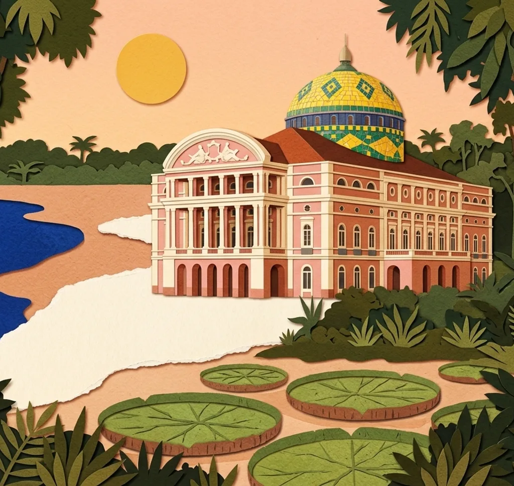
The pink theatre has a multicoloured dome above its white-trimmed façade. Compose a wide view from Largo São Sebastião, then isolate the dome against the sky.
Search Google MapsLargo São Sebastião
Black and white paving forms a wave pattern on the square by the theatre. Lower the camera to make the pavement a foreground leading towards the buildings.
Search Google MapsChurch of São Sebastião
The church faces Largo São Sebastião and combines a Gothic tower with a classical pediment. Try a vertical composition that includes both features.
Search Google MapsMercado Municipal Adolpho Lisboa
The market near the Rio Negro has ironwork and glass in its historic pavilions. Look for a close architectural detail, and ask before photographing vendors or their goods.
Search Google MapsPaço da Liberdade
The former municipal building houses the Museum of the City of Manaus. Frame the exterior as a whole, then look for a smaller detail of its façade.
Search Google MapsPraça Dom Pedro II
This tree-lined square near the city museum has a bandstand and fountain. Use the greenery to frame one of them without crowding the entire square into the image.
Search Google MapsPalacete Provincial
The former provincial building now contains museums and stands by Praça Heliodoro Balbi. A wider street view can show the building in relation to the square.
Search Google MapsPonta Negra waterfront
Ponta Negra is a riverside beach and leisure area. Use the line where the sand meets the water to give a landscape photograph depth.
Search Google MapsMeeting of the Waters
The Rio Negro meets the Solimões near Manaus, and the two waters show contrasting colours. A boat view can include both tones; check conditions with the operator before booking.
Search Google Maps