Marseille / 10 photo spots
10 Instagram spots around Marseille
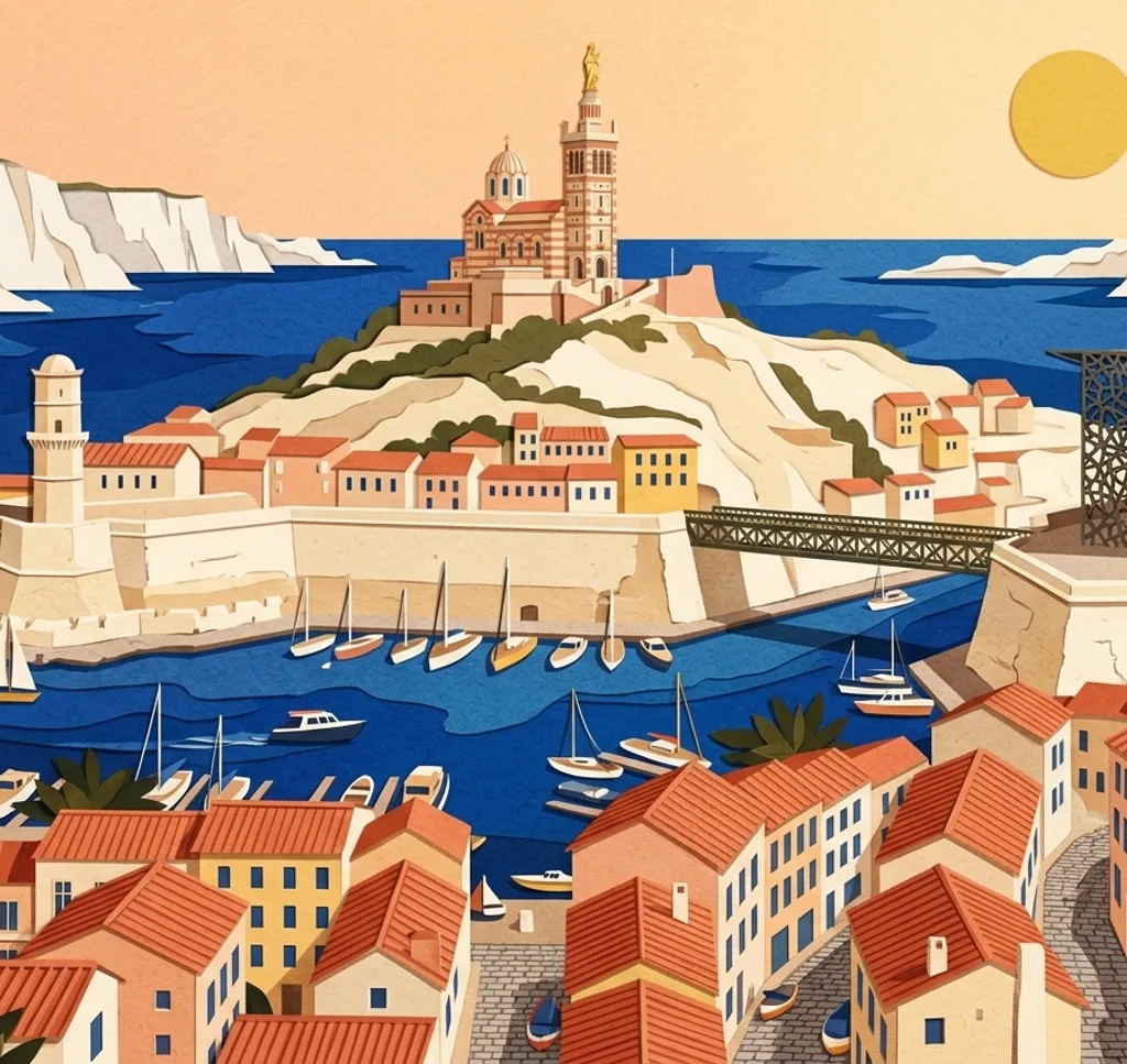
Marseille’s harbour, parks and waterfront architecture offer varied views of the Mediterranean city. These ideas combine public quays, gardens and exterior details.
Explore the map
Photo spots on the map
0 of 10 photo ideas have sourced location coordinates. The initial view is for orientation. An area marker does not indicate an exact photo position.
Select a highlighted number to show its sourced location on the map. Every name links to the photo spot.
If the map does not load, use the OpenStreetMap link or the photo spot list.
Map data: © OpenStreetMap contributors, ODbL.
Destination reference: GeoNames (CC BY 4.0). Spot coordinates: Wikidata, CC0. Selection, association and some calculations by You, Me, Away.
Vieux-Port mirror canopy
The mirrored canopy on Quai de la Fraternité reflects the people and activity of the Old Port. Look up from the public quay for a frame that includes the harbour at one edge and its reflection above.
Search Google MapsPalais Longchamp
At Palais Longchamp, a monumental fountain sits between the curved colonnades linking two museum wings. From the exterior approach, let the columns guide the eye towards the central structure.
Search Google MapsNotre-Dame de la Garde viewpoint
The area by Notre-Dame de la Garde looks across Marseille towards the sea. From the visitor viewpoint, pick out a section of rooftops and coastline and keep the horizon level.
Search Google MapsVallon des Auffes
A bridge on the Corniche crosses above the small fishing harbour of Vallon des Auffes. From the harbour’s public edge, frame a few boats with part of the bridge behind them and keep access to the quay clear.
Search Google MapsMucem J4 exterior
The Mucem’s J4 building has a fine concrete mesh around its exterior. From the outdoor route, photograph a section of the patterned screen with the sea beyond. The outdoor areas follow the museum’s opening hours.
Search Google MapsCathédrale de la Major
La Major has a monumental façade facing its forecourt. From the open area outside, choose a detail of the striped stonework and arches, or move back for a wider exterior view.
Search Google MapsPlace de Lenche
Place de Lenche lies among the streets of Marseille’s Le Panier district. Photograph the square as a small street scene and let the surrounding façades define its edges.
Search Google MapsParc du Pharo
The park by Palais du Pharo overlooks the Old Port and Fort Saint-Nicolas. Choose a section of the public park’s view and layer the harbour water below the buildings on the opposite side.
Search Google MapsParc Borély
Parc Borély contains a formal garden and the Château Borély. From a garden path, use the planted geometry in the foreground to lead towards the château. Check the park’s opening hours.
Search Google MapsPrado beach promenade
A promenade runs beside the Plages du Prado. Use the paved edge of the walk as a line through the frame and place the sea beyond it, leaving the route clear for walkers and cyclists.
Search Google MapsSources for these photo spots
- Marseille Tourist Office, Old Port fish market
- Marseille Tourist Office, Palais Longchamp
- Marseille Tourist Office, Notre-Dame de la Garde
- Marseille Tourist Office, Vallon des Auffes
- Mucem, J4 building
- Marseille Tourist Office, Cathédrale de la Major
- Marseille Tourist Office, Panier walking route
- Marseille Tourist Office, Palais du Pharo
- Marseille Tourist Office, Parc Borély
- Marseille Tourist Office, Plages du Prado
- City of Marseille, Cathédrale Sainte-Marie-Majeure