Melaka / 10 photo spots
10 Instagram spots around Melaka
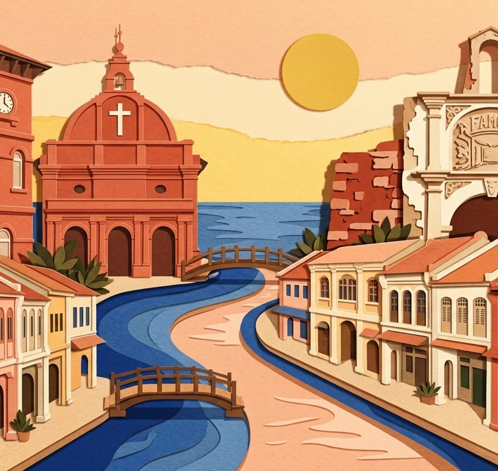
Melaka’s historic centre is shaped by its river, places of worship and surviving architecture. These photo ideas combine street details, a waterfront village and a view over the city.
Explore the map
Photo spots on the map
0 of 10 photo ideas have sourced location coordinates. The initial view is for orientation. An area marker does not indicate an exact photo position.
Select a highlighted number to show its sourced location on the map. Every name links to the photo spot.
If the map does not load, use the OpenStreetMap link or the photo spot list.
Map data: © OpenStreetMap contributors, ODbL.
Destination reference: GeoNames (CC BY 4.0). Spot coordinates: Wikidata, CC0. Selection, association and some calculations by You, Me, Away.
Melaka Riverwalk
Follow the walk beside the Melaka River through the historic centre. Let a curve of the river lead towards the buildings along the bank, using the waterside path as your foreground.
Search Google MapsSt Paul’s Church ruins
On St Paul’s Hill, the roofless church walls create a frame of their own. From an open visitor area, photograph one window opening with the sky showing through.
Search Google MapsKampung Morten
Kampung Morten is a riverside heritage village with traditional houses. From the accessible riverside route, use the water and village roofs to create a layered scene. These houses are lived in, so keep private entrances clear.
Search Google MapsCheng Hoon Teng Temple
Cheng Hoon Teng Temple stands on Jalan Tokong. From the street, concentrate on the roofline and entrance. Leave the space around worshippers and the entrance clear.
Search Google MapsMaritime Museum ship replica
A replica of the Flor de la Mar forms the Maritime Museum near the river mouth. From the public approach, look for an angle that separates the ship’s silhouette from nearby buildings.
Search Google MapsJonker Street
Jonker Street runs through Melaka’s older commercial area. Photograph the upper storeys of the shophouses from the pedestrian route, with a small stretch of the street for context.
Search Google MapsThe Stadthuys
The Stadthuys is recognisable by its red walls near the town square. From the square, compose a close view of a window and the surrounding wall instead of trying to fit the whole building into the frame.
Search Google MapsMelaka Sultanate Palace Museum
The Melaka Sultanate Palace Museum is a reconstruction inspired by descriptions of a historic palace. On the visitor approach, make the roof and timber structure the main shapes in your frame. Check museum admission and opening information before entering.
Search Google MapsPorta de Santiago
The surviving gateway of A Famosa is a compact stone subject. From the surrounding public area, use a vertical frame and include the shape of its opening to show the thickness of the walls.
Search Google MapsMenara Taming Sari
The rotating Taming Sari tower provides a view of Melaka from above. Frame a part of the river or the old town through the viewing cabin and allow for reflections. A ticket is required for the ride.
Search Google MapsSources for these photo spots
- UNESCO: Melaka and George Town World Heritage
- Tourism Malaysia: St Paul’s Hill and Church
- Tourism Malaysia: Melaka riverfront promenade
- UNESCO: Melaka conservation management plan
- Tourism Malaysia: Places near Melaka Marina
- Cheng Hoon Teng Temple: Contact and address
- Melaka Museums Corporation: Museums and galleries
- Tourism Malaysia: Melaka guide
- Menara Taming Sari: Visitor information