Mendoza / 10 photo spots
10 Instagram spots around Mendoza
Mendoza combines leafy promenades, public squares and heritage with the landscaped spaces of Parque General San Martín. These ideas stay within the city and its large urban park.
Explore the map
Photo spots on the map
0 of 10 photo ideas have sourced location coordinates. The initial view is for orientation. An area marker does not indicate an exact photo position.
Select a highlighted number to show its sourced location on the map. Every name links to the photo spot.
If the map does not load, use the OpenStreetMap link or the photo spot list.
Map data: © OpenStreetMap contributors, ODbL.
Destination reference: GeoNames (CC BY 4.0). Spot coordinates: Wikidata, CC0. Selection, association and some calculations by You, Me, Away.
Plaza Independencia
Mendoza’s central square includes a fountain and a large illuminated civic emblem. Photograph from the edge of the fountain and use the water as foreground, with the emblem giving the image its landmark.
Search Google MapsPlaza España
Plaza España is a public square with a monument celebrating Spanish and Argentine ties. Compose from the square with the monument as your main subject, then look for a closer view of its decoration.
Search Google MapsPeatonal Sarmiento
This central pedestrian promenade combines trees, planting beds and fountains. Photograph along its length, using the walkway to draw the eye into the scene and leaving the trees visible above it.
Search Google MapsGeneral San Martín Park Gates
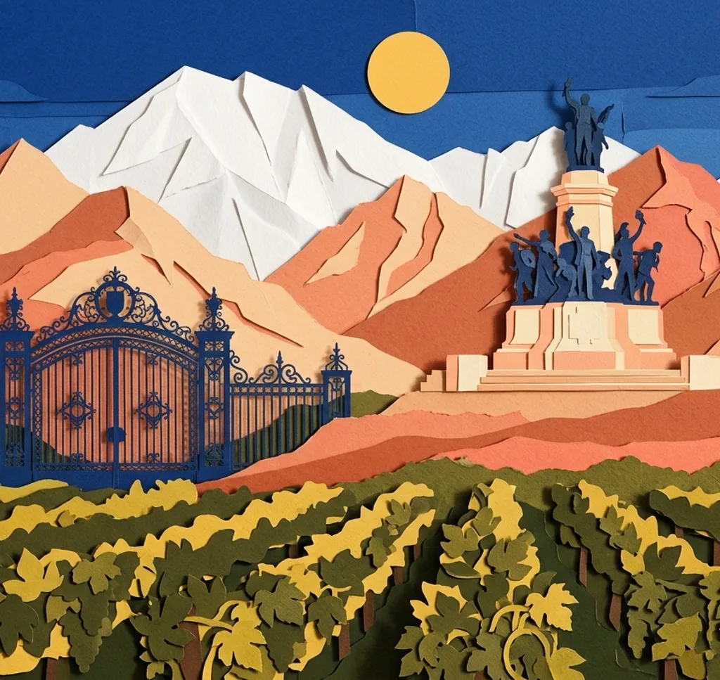
The ornate gates mark an entrance to Parque General San Martín. Photograph from a public pedestrian area with the gates centred, allowing their metalwork and the park entrance to form a symmetrical composition.
Search Google MapsParque General San Martín Lake
The lake inside Parque General San Martín contains an island. Photograph from the shore with water in the foreground and the island or opposite bank as a focal point. Respect any barriers around park works.
Search Google MapsRosedal in Parque General San Martín
The Rosedal lies east of the park lake and has winding paths among its roses. When flowers bloom, use a path to lead the eye through the garden. Follow any barriers around work areas.
Search Google MapsCerro de la Gloria
Cerro de la Gloria combines a monument to the Army of the Andes with views over Mendoza. First photograph the monument from the open approach, then turn towards the city for a separate panorama. Respect any barriers around work areas.
Search Google MapsSan Francisco Ruins
The ruins of the former San Francisco church stand beside Plaza Pedro del Castillo. Photograph the surviving masonry from the public side and leave space around it to show its position in the old city area.
Search Google MapsNave Cultural
Nave Cultural occupies a former railway freight shed in Parque Central. Use the public forecourt to photograph the long building and its industrial form, keeping part of the surrounding open space in view.
Search Google MapsPaseo Alameda
Paseo Alameda is a historic pedestrian walk shaded by trees. Stand along the path and use its receding line beneath the canopy to create depth, including the promenade rather than a single tree.
Search Google MapsSources for these photo spots
- Ciudad de Mendoza: Plaza Independencia, Historia
- Ciudad de Mendoza: Día de la Fiesta Nacional de España 2026
- Ciudad de Mendoza: Peatonal Sarmiento
- Visit Argentina: Parque General San Martín
- Gobierno de Mendoza: Parque General San Martín, Presentación 2026
- Gobierno de Mendoza: Remodelación del Rosedal
- Gobierno de Mendoza: Cerro de la Gloria
- Ciudad de Mendoza: Recorrido Sanmartiniano 2026
- Ciudad de Mendoza: Ruinas Jesuíticas de San Francisco
- Turismo Ciudad de Mendoza: La Nave Cultural
- Ciudad de Mendoza: Mercadito Francés en la Nave Cultural
- Ciudad de Mendoza: Paseo Alameda