Mexico City / 10 photo spots
10 Instagram spots around Mexico City
Mexico City offers vast plazas, distinctive museums and canals as well as gardens and neighbourhood streets. These ten stops range across the capital for a mix of architecture and urban life.
Explore the map
Photo spots on the map
5 of 10 photo ideas have sourced location coordinates. The initial view is for orientation. An area marker does not indicate an exact photo position.
Select a highlighted number to show its sourced location on the map. Every name links to the photo spot.
If the map does not load, use the OpenStreetMap link or the photo spot list.
All photo spots
- ZócaloApproximate area
- Chapultepec CastleSourced place
- National Museum of AnthropologySourced place
- Angel of IndependenceSourced place
- Frida Kahlo MuseumSourced place
Map data: © OpenStreetMap contributors, ODbL.
Destination reference: GeoNames (CC BY 4.0). Spot coordinates: Wikidata, CC0. Selection, association and some calculations by You, Me, Away.
Zócalo
The broad central square brings the Metropolitan Cathedral and National Palace into the same cityscape. Give the open paving plenty of room in the foreground, then use one building to anchor the edge of your frame.
Search Google MapsPalacio de Bellas Artes
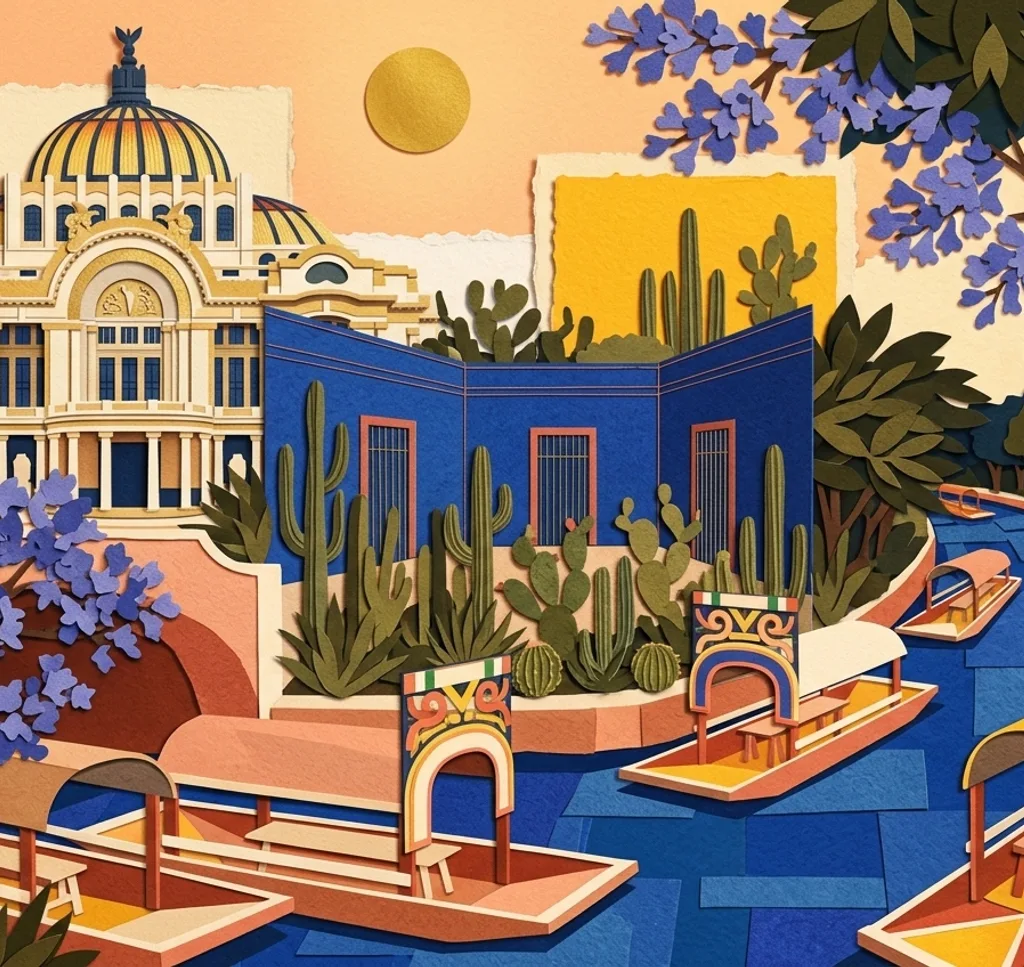
The white marble façade of the Palacio de Bellas Artes faces Alameda Central. Set the building against a little of the park in a wide frame, then move closer for the architectural detail around its entrance.
Search Google MapsChapultepec Castle
Chapultepec Castle crowns a hill in the city’s wooded park and houses the National Museum of History. Look for a composition that relates the palace to the trees below, giving the hill a sense of scale.
Search Google MapsNational Museum of Anthropology
Designed by Pedro Ramírez Vázquez, this museum brings together archaeological collections from Mesoamerica. For an architectural frame, look at the proportions of the building and use the surrounding space to show its scale.
Search Google MapsAngel of Independence
The Angel of Independence rises above a roundabout on Paseo de la Reforma. Compose vertically to include the column and its winged figure, or step back for a wider view of the avenue around it.
Search Google MapsBasilica of Guadalupe
The Basilica of Guadalupe is part of a major religious complex in the north of Mexico City. Photograph the building with space around it, allowing the gathering place in front to give the architecture context.
Search Google MapsFrida Kahlo Museum
The cobalt blue walls of Frida Kahlo’s former home make the Casa Azul recognisable in Coyoacán. Frame a section of the exterior tightly for its colour, then include the street to place it within the neighbourhood.
Search Google MapsJardín Centenario, Coyoacán
Coyoacán’s historic centre has a fountain of coyotes and a parish church near its squares. Place the fountain in the foreground and let the surrounding buildings provide a setting for the scene.
Search Google MapsXochimilco Canals
The canals of Xochimilco are known for their colourful trajinera boats and the landscape of chinampas. Frame a boat against the water and surrounding vegetation, leaving room for the canal to lead through the image.
Search Google MapsMuseo Soumaya
The Museo Soumaya in Polanco has an exterior covered in aluminium hexagons. Photograph a small section to emphasise the repeating pattern, then widen your view to show how the curved façade shapes the whole building.
Search Google Maps