Moab, Utah / 8 photo spots
8 Instagram spots around Moab, Utah
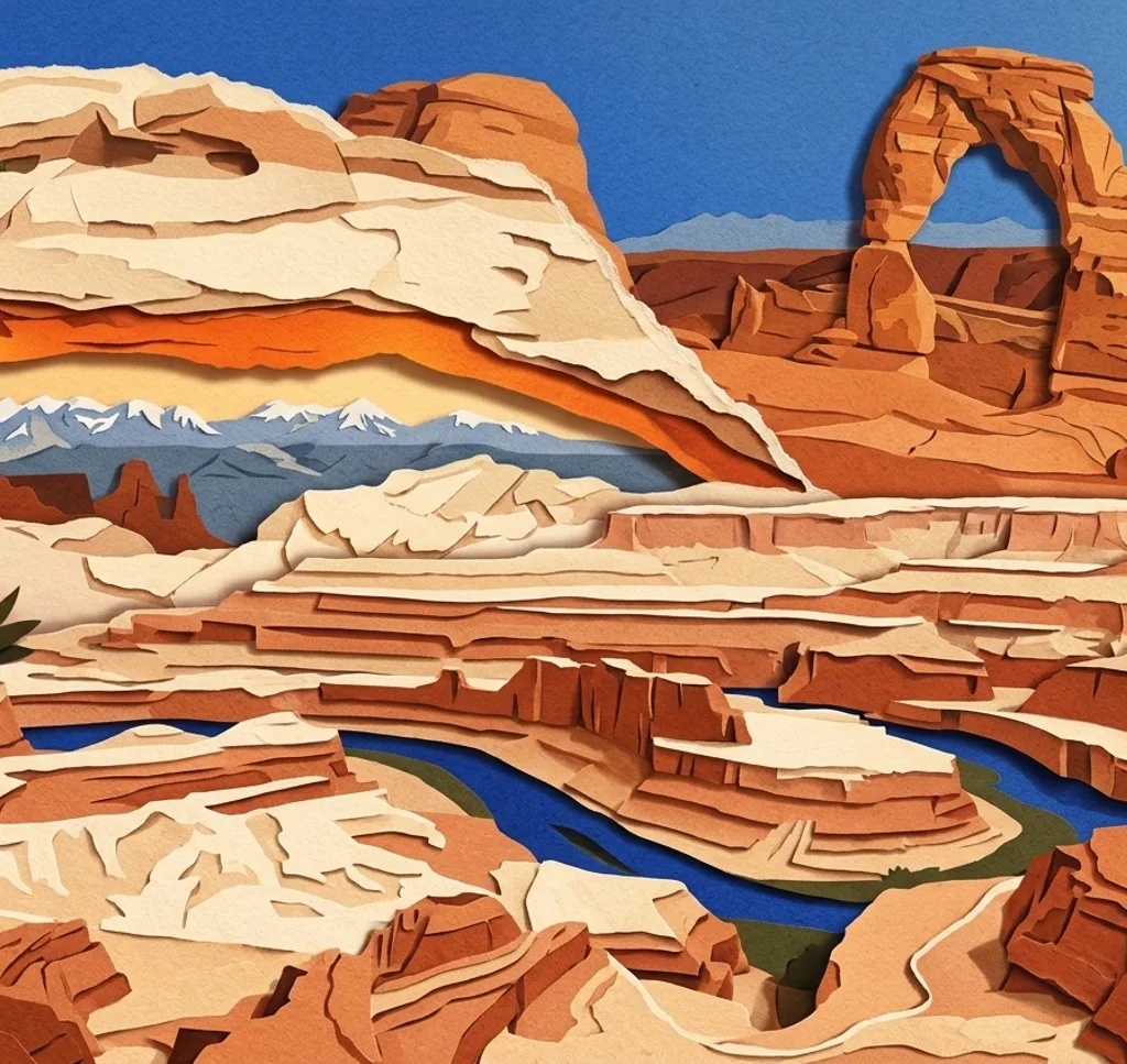
Moab is a gateway to desert landscapes beyond the town. These eight ideas are separate trips to Arches, Canyonlands, Dead Horse Point and public land, so allow time for driving and check park access.
Explore the map
Photo spots on the map
0 of 8 photo ideas have sourced location coordinates. The initial view is for orientation. An area marker does not indicate an exact photo position.
Select a highlighted number to show its sourced location on the map. Every name links to the photo spot.
If the map does not load, use the OpenStreetMap link or the photo spot list.
Map data: © OpenStreetMap contributors, ODbL.
Destination reference: GeoNames (CC BY 4.0). Spot coordinates: Wikidata, CC0. Selection, association and some calculations by You, Me, Away.
Delicate Arch Viewpoint
In Arches National Park, this viewpoint shows Delicate Arch from a distance across a canyon. A longer lens helps isolate the arch without implying that the viewpoint reaches its base.
Search Google MapsBalanced Rock
Balanced Rock is a freestanding formation along the Arches scenic drive. Leave space around the narrow supporting column so its silhouette remains clear.
Search Google MapsThe Windows
The Windows Section contains several large arches in Arches National Park. Use the marked paths to compare the openings against the surrounding rock.
Search Google MapsDouble Arch
Double Arch joins two stone spans at one end in the Windows Section. A wide frame can show how the two curves meet; keep to the designated route.
Search Google MapsPark Avenue Viewpoint
This Arches viewpoint looks along a corridor of tall rock walls and spires. Use the natural lines of the formations to guide the eye into the scene.
Search Google MapsMesa Arch
Mesa Arch lies in Canyonlands National Park’s Island in the Sky district, a separate drive from Moab. Photograph the landscape through the opening while keeping well away from the cliff edge.
Search Google MapsDead Horse Point Overlook
Dead Horse Point State Park overlooks the Colorado River canyon outside Moab. A broad composition can show the bends and layered cliffs from the designated overlook.
Search Google MapsCorona Arch
Corona Arch is reached by a trail west of Moab outside the national parks. Photograph the arch within its sandstone setting and check the route, weather and required preparation first.
Search Google MapsSources for these photo spots
- US National Park Service, places in Arches
- US National Park Service, Arches viewpoints
- US National Park Service, The Windows Section
- US National Park Service, Park Avenue viewpoint
- US National Park Service, Canyonlands itineraries
- Utah State Parks, Dead Horse Point park map
- Discover Moab, Corona Arch trail
- US National Park Service, Arches park guide (Dutch)
- Discover Moab, Dead Horse Mesa Scenic Byway