Monterey, California / 8 photo spots
8 Instagram spots around Monterey, California
Monterey is a base for harbour views and the wider Monterey Peninsula. These ideas include Pacific Grove and a separate excursion south of Carmel, not just the city of Monterey.
Explore the map
Photo spots on the map
0 of 8 photo ideas have sourced location coordinates. The initial view is for orientation. An area marker does not indicate an exact photo position.
Select a highlighted number to show its sourced location on the map. Every name links to the photo spot.
If the map does not load, use the OpenStreetMap link or the photo spot list.
Map data: © OpenStreetMap contributors, ODbL.
Destination reference: GeoNames (CC BY 4.0). Spot coordinates: Wikidata, CC0. Selection, association and some calculations by You, Me, Away.
Cannery Row
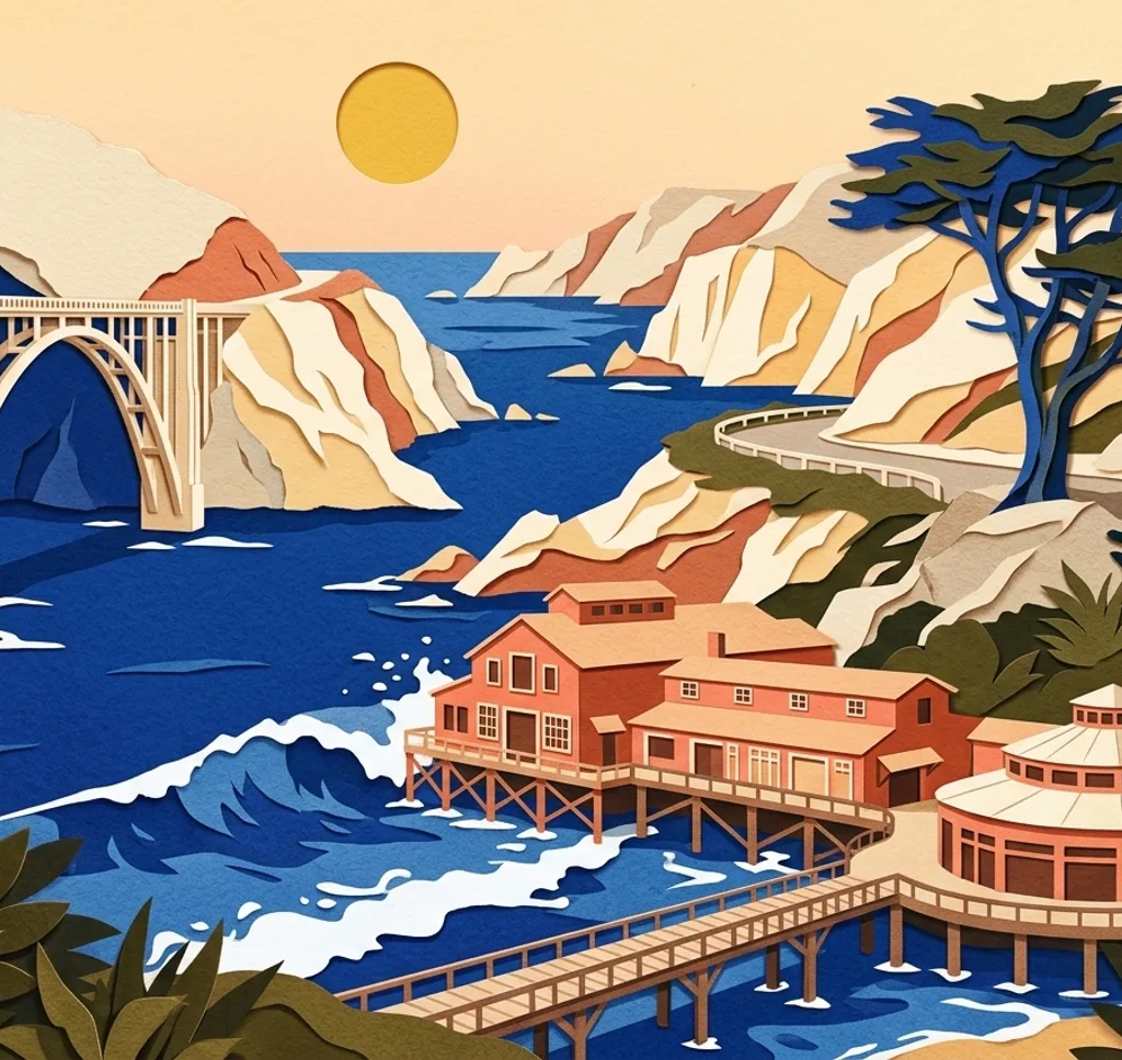
Cannery Row is a waterfront district on Monterey Bay. Compare the former cannery buildings along the street with a view toward the bay from a public access point.
Search Google MapsOld Fisherman’s Wharf
The historic wharf projects into Monterey Bay near downtown. Use the pier as a leading line and include the harbour in a wider view.
Search Google MapsSan Carlos Beach Park
San Carlos Beach Park sits on Monterey’s waterfront near Cannery Row. A low shoreline viewpoint can bring the beach and bay together without leaving public paths.
Search Google MapsMonterey Bay Coastal Recreation Trail
This coastal path connects waterfront landmarks including the wharf and Cannery Row. Use its curve as a foreground line, and leave space for people walking or cycling.
Search Google MapsLovers Point Park
Lovers Point is a coastal park in neighbouring Pacific Grove. Frame the rocky shoreline against the bay and stay back from surf and slippery rocks.
Search Google MapsAsilomar State Beach
Asilomar State Beach lies along Pacific Grove’s Pacific coast. Compare a broad view of the rocky shore with a detail from the established coastal path.
Search Google MapsPoint Pinos Lighthouse
Point Pinos Lighthouse stands in Pacific Grove near the coast. Photograph the exterior from publicly accessible areas and check current tour arrangements separately.
Search Google MapsCypress Grove Trail at Point Lobos
Point Lobos State Natural Reserve lies south of Carmel, outside Monterey. The Cypress Grove Trail offers a coastal view; stay on the trail and respect protected wildlife.
Search Google Maps