Montevideo / 10 photo spots
10 Instagram spots around Montevideo
Montevideo’s old town, squares and waterfront make a varied photo walk. These ten places combine historic architecture with the city’s coastal setting.
Explore the map
Photo spots on the map
0 of 10 photo ideas have sourced location coordinates. The initial view is for orientation. An area marker does not indicate an exact photo position.
Select a highlighted number to show its sourced location on the map. Every name links to the photo spot.
If the map does not load, use the OpenStreetMap link or the photo spot list.
Map data: © OpenStreetMap contributors, ODbL.
Destination reference: GeoNames (CC BY 4.0). Spot coordinates: Wikidata, CC0. Selection, association and some calculations by You, Me, Away.
Plaza Independencia
Plaza Independencia marks the meeting of the old city and the centre. Include its open space and surrounding architecture in a wide, balanced composition.
Search Google MapsPalacio Salvo
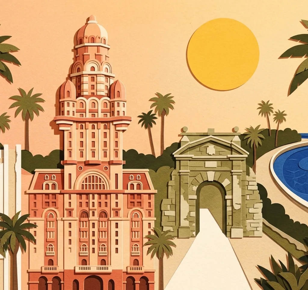
Palacio Salvo is a landmark on Plaza Independencia. Emphasise its height with a portrait frame, or step back to include the square around its base.
Search Google MapsTeatro Solís
The Teatro Solís stands near the edge of the old city. Photograph its entrance head-on for an architectural study, or include the adjoining streetscape.
Search Google MapsPuerta de la Ciudadela
The Puerta de la Ciudadela is a historic gateway beside Plaza Independencia. Use the opening as a frame for the street and buildings beyond.
Search Google MapsPeatonal Sarandí
Sarandí is a pedestrian street through Ciudad Vieja. Look along the route for a composition that layers shopfronts and façades on either side.
Search Google MapsPlaza Matriz
Plaza Matriz is surrounded by the cathedral and other historic buildings. Use the square’s fountain or trees in the foreground to add depth.
Search Google MapsMontevideo Metropolitan Cathedral
The cathedral faces Plaza Matriz in the old city. A frontal view brings out the façade, while a wider crop shows its relationship to the square.
Search Google MapsPlaza Zabala
Plaza Zabala is a green square in Ciudad Vieja. Use the paths and vegetation to soften the surrounding architecture and lead the eye into the scene.
Search Google MapsPalacio Taranco
Palacio Taranco borders the old city’s Plaza Zabala. Include the square as foreground, or isolate the building’s architectural details in a closer photograph.
Search Google MapsPunta Carretas Lighthouse
The lighthouse at Punta Carretas stands by the Rambla Gandhi. Combine its vertical form with the broad waterfront for a picture that feels distinctly coastal.
Search Google Maps