Natal, Brazil / 8 photo spots
8 Instagram spots around Natal, Brazil
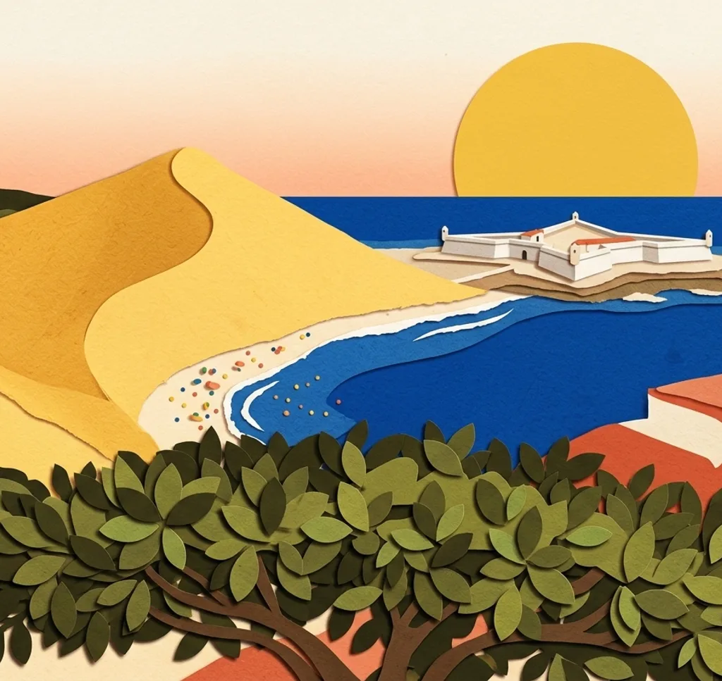
Natal sits between the Atlantic, dunes and the Potengi River. These photo stops explore the coast, green spaces and the historic centre.
Explore the map
Photo spots on the map
0 of 8 photo ideas have sourced location coordinates. The initial view is for orientation. An area marker does not indicate an exact photo position.
Select a highlighted number to show its sourced location on the map. Every name links to the photo spot.
If the map does not load, use the OpenStreetMap link or the photo spot list.
Map data: © OpenStreetMap contributors, ODbL.
Destination reference: GeoNames (CC BY 4.0). Spot coordinates: Wikidata, CC0. Selection, association and some calculations by You, Me, Away.
Praia de Ponta Negra
From the open beach at Ponta Negra, frame Morro do Careca in the distance with the shoreline in front. The dune is protected and closed to visitors. Stay outside the barriers.
Search Google MapsForte dos Reis Magos
Forte dos Reis Magos is a historic fort now managed as a heritage site. From the visitor area, frame its old walls with the water beyond. Check visiting times and admission before setting out.
Search Google MapsBosque dos Namorados
Bosque dos Namorados is the public visitor area of Parque das Dunas. From its walking paths, photograph the native trees and their layers of foliage. Check opening times and admission.
Search Google MapsMemorial Natal Parque da Cidade
The tower at Parque da Cidade houses Memorial Natal and a city viewpoint. From the visitor viewpoint, compose the skyline above the park. Check opening hours and whether a reservation is needed.
Search Google MapsIgreja Matriz de Nossa Senhora da Apresentação Natal
Natal’s former cathedral stands on Praça André de Albuquerque. From the public square, frame the church facade without blocking its entrance.
Search Google MapsPalácio Potengi Natal
Palácio Potengi houses the state art gallery in Cidade Alta. From the public square, look for a frontal view of the historic facade.
Search Google MapsMirante do Mar Natal
The lookout on Avenida Getúlio Vargas overlooks the coast toward the fort and Ponte Newton Navarro. From the open viewing area, include the shoreline in your frame.
Search Google MapsRelógio do Sol Natal
The Relógio do Sol stands by Praia de Areia Preta. From the public square beside it, frame the sundial with the coast behind. Stay on open pedestrian areas.
Search Google MapsSources for these photo spots
- Prefeitura do Natal: praias e Centro de Artesanato
- Ministério Público Federal: proteção do Morro do Careca
- Iphan: Forte dos Reis Magos
- Prefeitura do Natal: Zona Leste e Forte dos Reis Magos
- Governo do Rio Grande do Norte: diagnóstico de turismo
- Parque da Cidade: Memorial Natal
- Prefeitura do Natal: serviços Memorial de Natal
- Arquidiocese de Natal: antiga catedral
- Fundação José Augusto: carta de serviços
- Câmara Municipal do Natal: história do Palácio Potengi
- Prefeitura do Natal: vistas panorâmicas
- Prefeitura do Natal, Mirante do Mar opening report reproduced by Cotidiano Digital