Newcastle upon Tyne / 10 photo spots
10 Instagram spots around Newcastle upon Tyne
Newcastle’s bridges, parks and old streets make varied subjects. Two viewpoints in neighbouring Gateshead add different views of the area.
Explore the map
Photo spots on the map
0 of 10 photo ideas have sourced location coordinates. The initial view is for orientation. An area marker does not indicate an exact photo position.
Select a highlighted number to show its sourced location on the map. Every name links to the photo spot.
If the map does not load, use the OpenStreetMap link or the photo spot list.
Map data: © OpenStreetMap contributors, ODbL.
Destination reference: GeoNames (CC BY 4.0). Spot coordinates: Wikidata, CC0. Selection, association and some calculations by You, Me, Away.
Gateshead Millennium Bridge
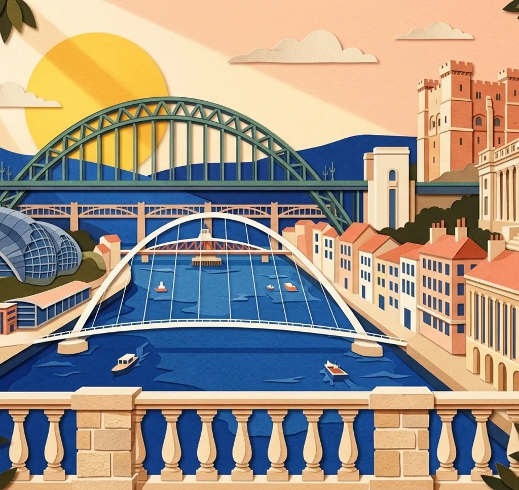
From Newcastle Quayside, photograph the Gateshead Millennium Bridge spanning the Tyne to Gateshead. A wide composition can include the bridge arches and their reflection without leaving the riverside path.
Search Google MapsTyne Bridge
The Tyne Bridge is visible from Newcastle Quayside. Frame the arch from an open section of the riverside path, and expect scaffolding while the bridge is restored.
Search Google MapsBaltic viewing terrace
Across the river in Gateshead, Baltic’s level four terrace overlooks the Tyne and Quayside. Frame the bridges through the glass. Entry is free. Check opening times, as the terrace may close in bad weather. Commercial photography needs permission.
Search Google MapsGrey’s Monument
Grey’s Monument stands at the top of Grey Street. From the pedestrian area around its base, use a vertical frame for the column. Markets and events can alter the scene.
Search Google MapsGrey Street and Theatre Royal
Grey Street curves through Grainger Town past Theatre Royal. From the pavement, follow the line of the classical facades in your frame and keep clear of traffic.
Search Google MapsNewcastle Cathedral
Newcastle Cathedral’s Lantern Tower rises above St Nicholas Square. From the public square outside, use a vertical frame to include the tower and part of the church. Conservation works and scaffolding can affect the view.
Search Google MapsJesmond Dene waterfall
Follow the paths through Jesmond Dene to the waterfall. Photograph the water and surrounding trees from an established path or bridge, keeping clear of the riverbank.
Search Google MapsLeazes Park lake
The path around the lake in Leazes Park gives you several angles on the water. Use trees on the shore to frame a small reflection and leave wildlife undisturbed.
Search Google MapsOuseburn Bridge at Cut Bank
In Ouseburn Valley, look north from the pavement on Ouseburn Bridge at Cut Bank. Frame the bend of the watercourse and its banks, leaving space for people passing.
Search Google MapsAngel of the North
The Angel of the North stands on public land in Gateshead, a trip south of Newcastle. From the visitor area, step back enough to fit the wings in a wide frame. Ask Gateshead Council about advertising or commercial use of its image.
Search Google MapsSources for these photo spots
- NewcastleGateshead: Sights on the Quayside
- NewcastleGateshead: Gateshead Millennium Bridge
- Newcastle City Council: Restoring the Tyne Bridge
- Baltic: Fantastic views
- Baltic: What to expect on a visit
- Baltic: Visitor guidelines and photography
- NewcastleGateshead: Grey’s Monument
- NewcastleGateshead: Newcastle Christmas Market 2026
- NewcastleGateshead: Grey Street and Grainger Town
- Newcastle Cathedral: Visitor notices and tower works
- Newcastle Cathedral: Cathedral timeline and square
- NewcastleGateshead: Jesmond Dene
- NewcastleGateshead: Newcastle and Gateshead parks
- Ouseburn Trust: Illustrated walk in Ouseburn Valley
- Ouseburn Trust: Plan your visit
- NewcastleGateshead: Angel of the North
- Gateshead Council: Filming protocol and Angel of the North