Newport, Rhode Island / 8 photo spots
8 Instagram spots around Newport, Rhode Island
Newport’s coast pairs rocky shorelines with a historic harbour and grand houses. The ideas below use different perspectives around the city and its coastal road.
Explore the map
Photo spots on the map
0 of 8 photo ideas have sourced location coordinates. The initial view is for orientation. An area marker does not indicate an exact photo position.
Select a highlighted number to show its sourced location on the map. Every name links to the photo spot.
If the map does not load, use the OpenStreetMap link or the photo spot list.
Map data: © OpenStreetMap contributors, ODbL.
Destination reference: GeoNames (CC BY 4.0). Spot coordinates: Wikidata, CC0. Selection, association and some calculations by You, Me, Away.
Cliff Walk
The coastal Cliff Walk passes ocean views and historic houses. Stay on the marked route and check detours: a section between Narragansett Avenue and Webster Street is affected by structural damage.
Search Google MapsForty Steps
The Forty Steps are reached from the Cliff Walk entrance at Narragansett Avenue. Frame the steps with a section of coast, and check the current route around the damaged section.
Search Google MapsThe Breakers from the Cliff Walk
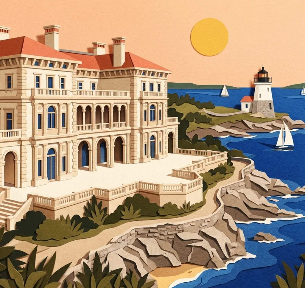
A viewing platform near the Ruggles Avenue access offers a look toward The Breakers. Use the path and viewing area rather than entering the estate without a ticket.
Search Google MapsFort Adams State Park
Fort Adams sits at the entrance to Newport Harbor. Try a wide frame that combines the historic fort with its waterside setting, and check current visitor access.
Search Google MapsBrenton Point State Park
Brenton Point is a coastal stop on Ocean Drive. From a designated stopping area, compose the rocky shore against the open water.
Search Google MapsEaston’s Beach
Easton’s Beach, also called First Beach, lies near the Memorial Boulevard entrance to the Cliff Walk. Use the shoreline as a curve through the foreground.
Search Google MapsBowen’s and Bannister’s Wharves
These harbour wharves combine waterside walkways and boats. Frame a short section of the waterfront and leave room for working access around the docks.
Search Google MapsThames Street
Thames Street runs through downtown Newport. From the sidewalk, photograph a sequence of storefronts or choose one doorway and its surrounding façade.
Search Google Maps