Omaha / 8 photo spots
8 Instagram spots around Omaha
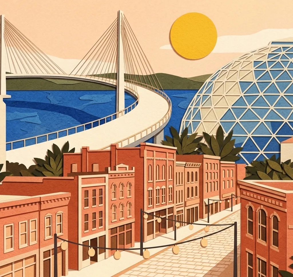
Omaha’s photo stops include a pedestrian bridge, a historic market district, riverside parks and art deco architecture. The city sits on the Missouri River in Nebraska.
Explore the map
Photo spots on the map
0 of 8 photo ideas have sourced location coordinates. The initial view is for orientation. An area marker does not indicate an exact photo position.
Select a highlighted number to show its sourced location on the map. Every name links to the photo spot.
If the map does not load, use the OpenStreetMap link or the photo spot list.
Map data: © OpenStreetMap contributors, ODbL.
Destination reference: GeoNames (CC BY 4.0). Spot coordinates: Wikidata, CC0. Selection, association and some calculations by You, Me, Away.
Bob Kerrey Pedestrian Bridge
The Bob Kerrey Pedestrian Bridge crosses the Missouri River between Nebraska and Iowa. Use the bridge deck or its cables to lead the eye through the photograph, keeping the path clear for others.
Search Google MapsOld Market
Omaha’s Old Market is a historic district of brick buildings and cobblestone streets. Choose a street-level view and use the facades to frame the depth of the block.
Search Google MapsLauritzen Gardens
Lauritzen Gardens contains themed outdoor areas and a conservatory. Pick a plant detail or a wider garden view. Staged portraits require a reservation and photography fee; commercial work requires prior approval.
Search Google MapsGene Leahy Mall
Gene Leahy Mall is a downtown park with a sculpture garden and a performance pavilion. Make a composition around one feature and leave enough space to show its setting within the park. Commercial work, restricted areas, or equipment beyond one tripod require a permit and rental fee.
Search Google MapsFarnam Pier
Farnam Pier projects toward the Missouri River from Heartland of America Park. Use the pier as a line into the picture, with the river and far bank providing a simple backdrop. Commercial work, restricted areas, or equipment beyond one tripod require a permit and rental fee.
Search Google MapsLewis & Clark Landing
Lewis & Clark Landing is one of Omaha’s connected RiverFront parks. Its riverfront setting and prairie garden make a contrast to the downtown streets nearby. Frame plants in the prairie garden as a close-up, or use the river as the backdrop. Commercial work, restricted areas, or equipment beyond one tripod require a permit and rental fee.
Search Google MapsJoslyn Art Museum
The original Joslyn Art Museum building is known for its pink marble exterior. Frame the entrance and facade as an architectural study, then look for a closer pattern in the stone.
Search Google MapsThe Durham Museum
The Durham Museum occupies Omaha’s former Union Station, an art deco railway building. Take in the exterior first and, if visiting the museum, check its current photography rules for interiors.
Search Google Maps