Oxford / 10 photo spots
10 Instagram spots around Oxford
Oxford pairs university architecture with open river paths and parks. These ten ideas focus on public streets and confirmed visitor spaces, so each image can stand on its own.
Explore the map
Photo spots on the map
0 of 10 photo ideas have sourced location coordinates. The initial view is for orientation. An area marker does not indicate an exact photo position.
Select a highlighted number to show its sourced location on the map. Every name links to the photo spot.
If the map does not load, use the OpenStreetMap link or the photo spot list.
Map data: © OpenStreetMap contributors, ODbL.
Destination reference: GeoNames (CC BY 4.0). Spot coordinates: Wikidata, CC0. Selection, association and some calculations by You, Me, Away.
Radcliffe Camera
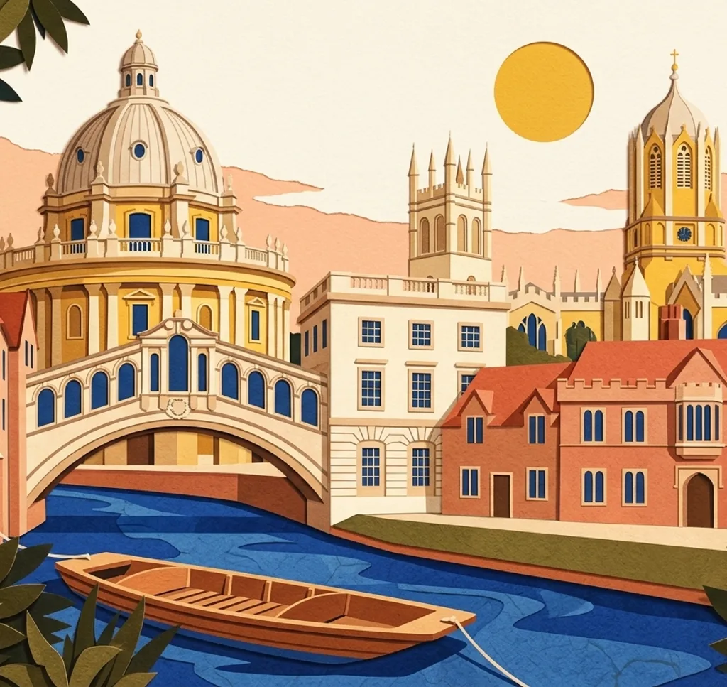
The Radcliffe Camera is Oxford’s circular library landmark within the central Bodleian complex. From Radcliffe Square, frame the domed rotunda against the surrounding college façades. Public entry to the library itself requires a tour.
Search Google MapsBridge of Sighs
Hertford College’s Bridge of Sighs crosses New College Lane and is one of Oxford’s best-known university sights. From the public lane below, use the stone bridge as a horizontal frame between the dark façades.
Search Google MapsSheldonian Theatre
Christopher Wren designed the Sheldonian Theatre as the University’s ceremonial venue. From Broad Street, take a centred façade shot with the street in the foreground, then leave the roofline clear against the sky.
Search Google MapsOxford Town Hall
Oxford Town Hall is a prominent city-centre building on St Aldate’s with a stone façade and decorative detail. From the opposite pavement, keep the full frontage in view and use the street for scale.
Search Google MapsOxford Covered Market
The Covered Market opened in 1774 and remains an architectural landmark in central Oxford. From High Street, photograph the classical façade and its covered entrances from outside, with the street frontage setting the scene.
Search Google MapsOxford University Museum of Natural History
Oxford’s Natural History Museum stands on Parks Road in a striking neo-Gothic building. From the public street, use a low angle to set the façade against the sky and keep the frame entirely outside the museum.
Search Google MapsChrist Church Meadow
Christ Church Meadow is open to visitors, with paths beside rivers and views of Christ Church and the Oxford skyline. Follow a historic path towards the water, then let the river lead the eye to the distant spires.
Search Google MapsSouth Park
South Park is a public green space with views over Oxford’s dreaming spires. From the open slopes, compose the skyline above a wide strip of grass so the towers remain distinct from the foreground trees.
Search Google MapsRainbow Bridge, University Parks
University Parks follows the River Cherwell and includes the arched High Bridge, also called Rainbow Bridge. From a park path, place its curve low in the frame and let river and trees fill the space around it.
Search Google MapsMagdalen Bridge
Magdalen Bridge carries Oxford’s eastern road across the River Cherwell, at a crossing known since at least 1004. From the footway, compose the bridge above the water and use the river as the lower edge of the image.
Search Google MapsSources for these photo spots
- Experience Oxfordshire: Top 10 Visitor Questions
- Bodleian Libraries: Using the Radcliffe Camera
- University of Oxford: Museums, gardens, libraries, shops and places of interest
- Oxford City Council: Good progress made on Oxford Town Hall facade project
- Oxford City Council: Oxford Covered Market
- Oxford City Council: The Covered Market Heritage Assessment
- Oxford University Museum of Natural History: How to get to the Museum
- Christ Church: The Meadow
- Oxford City Council: South Park
- University Parks: Bridges and pathways
- University Parks: Opening times and closures
- Oxford City Council: Medieval Oxford 1205-1540