Paramaribo / 8 photo spots
8 Instagram spots around Paramaribo
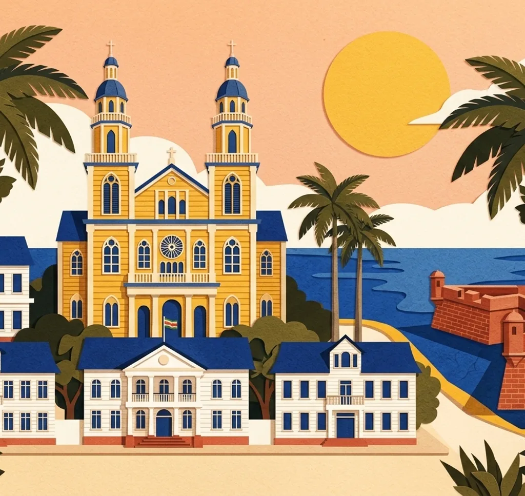
Paramaribo’s historic centre combines wooden architecture, gardens and a setting beside the Suriname River. These stops focus on distinct places in and around the centre.
Explore the map
Photo spots on the map
0 of 8 photo ideas have sourced location coordinates. The initial view is for orientation. An area marker does not indicate an exact photo position.
Select a highlighted number to show its sourced location on the map. Every name links to the photo spot.
If the map does not load, use the OpenStreetMap link or the photo spot list.
Map data: © OpenStreetMap contributors, ODbL.
Destination reference: GeoNames (CC BY 4.0). Spot coordinates: Wikidata, CC0. Selection, association and some calculations by You, Me, Away.
Fort Zeelandia
Fort Zeelandia houses the Suriname Museum. Consider a wide view of the fort in its setting, then pick a detail of the historic structure.
Search Google MapsIndependence Square
Independence Square is an open space in front of the Presidential Palace. Use one edge of the square as a line to show its breadth, leaving the palace out of the frame.
Search Google MapsPresidential Palace
The former governor’s house became the Presidential Palace. From a permitted position outside, frame its façade symmetrically and leave room above the roofline.
Search Google MapsPalm Garden
The Palm Garden lies behind the palace. Use the vertical palm trunks as a natural frame, keeping the walkway clear for others.
Search Google MapsSaints Peter and Paul Cathedral Basilica
This cathedral on Henck Arronstraat is built of wood. Try a full exterior view and then a closer composition that shows its wooden construction.
Search Google MapsKeizerstraat
On Keizerstraat, a synagogue and mosque stand side by side. Compose the two neighbouring buildings together and approach both places of worship respectfully.
Search Google MapsKoto Museum
The Koto Museum presents Afro-Surinamese dress and culture. An exterior photograph can identify the place; ask about permission before photographing exhibitions.
Search Google MapsWaterkant
Fort Zeelandia is listed at Waterkant near the river. Look for a riverward composition that connects the historic centre with its waterside setting.
Search Google Maps