Paraty / 9 photo spots
9 Instagram spots around Paraty
Paraty pairs a stone-paved historic centre with an island-filled bay. The final two beach ideas are in Trindade, a separate coastal area within the municipality.
Explore the map
Photo spots on the map
0 of 9 photo ideas have sourced location coordinates. The initial view is for orientation. An area marker does not indicate an exact photo position.
Select a highlighted number to show its sourced location on the map. Every name links to the photo spot.
If the map does not load, use the OpenStreetMap link or the photo spot list.
Map data: © OpenStreetMap contributors, ODbL.
Destination reference: GeoNames (CC BY 4.0). Spot coordinates: Wikidata, CC0. Selection, association and some calculations by You, Me, Away.
Igreja de Santa Rita
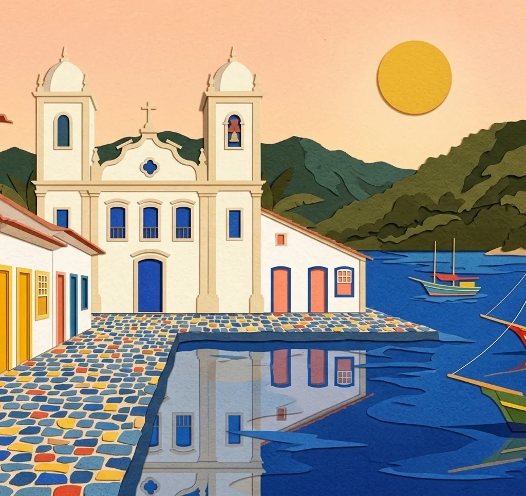
The church on Largo de Santa Rita faces the waterfront and houses the Museu de Arte Sacra. From the public square, frame its facade without entering the museum. Ask the museum about rules before taking photos inside.
Search Google MapsPraça da Matriz
Paraty’s main square sits beside the Igreja de Nossa Senhora dos Remédios. From the square, use the church facade as the background for a simple architectural frame. Check locally before photographing inside.
Search Google MapsRua Tenente Francisco Antônio
Rua Tenente Francisco Antônio, formerly Rua do Comércio, runs through the historic centre. From the public walkway, choose a doorway or window as a close detail against the cobbled setting. Some old town streets flood at high tide, so avoid any flooded section.
Search Google MapsCais de Turismo
The tourism quay lies beside the historic centre and serves boats in Paraty Bay. From the public waterfront, use the boats as a foreground for the bay. Keep boarding areas clear and watch the tide.
Search Google MapsPraia do Pontal
On the urban beach of Pontal, make a wide image from the sand looking across the bay. Leave any boats and working equipment undisturbed and keep back from the water.
Search Google MapsPraia do Jabaquara
Jabaquara is another urban beach in Paraty. From an open stretch of sand, use the curve of the shore to lead into a wide bay view. Watch the tide and stay clear of the river mouth.
Search Google MapsMirante do Forte
The Museu do Forte grounds include public trails and viewpoints. From a designated viewpoint, frame the bay and the town below. Check current access before visiting and remain on open paths. Ask the museum about permission for organised shoots.
Search Google MapsPraia do Meio, Trindade
In Trindade, outside central Paraty, Praia do Meio has two small coves. Photograph their curve from the sand, keeping a safe distance from the sea. The park lists no entry fee for open attractions. Check commercial photo plans with ICMBio and do not disturb wildlife.
Search Google MapsPraia da Caixa d’Aço
In Trindade, a trail from Praia do Meio leads to the longer Praia da Caixa d’Aço. From the beach, use the shoreline as a diagonal through the frame. Follow open trails, watch the sea and check commercial photo plans with ICMBio.
Search Google MapsSources for these photo spots
- Visit Brasil: Paraty
- IPHAN: Parati, Cidades Históricas
- Prefeitura de Paraty: Diário Oficial, espaços no Centro Histórico
- Ibram: Museu de Arte Sacra de Paraty
- Prefeitura de Paraty: Plano de Gestão Integrada da Orla
- Ibram: Museu Forte Defensor Perpétuo
- ICMBio: Região de Trindade
- ICMBio: Trindade, orientações e normas
- ICMBio: Captação e uso de imagens
- Ibram: Vista da Baía de Paraty a partir do Forte
- Ibram: Política de utilização de espaços do Museu Forte
- BNDES: Praça da Matriz e Igreja de Nossa Senhora dos Remédios
- Câmara Municipal de Paraty: Denominações de logradouros
- IPHAN: Dissertação sobre o Centro Histórico de Paraty