Phoenix, Arizona / 8 photo spots
8 Instagram spots around Phoenix, Arizona
Phoenix mixes Sonoran Desert trails, gardens and downtown art. Desert heat can be severe, so check local park notices and plan outdoor stops around the weather.
Explore the map
Photo spots on the map
0 of 8 photo ideas have sourced location coordinates. The initial view is for orientation. An area marker does not indicate an exact photo position.
Select a highlighted number to show its sourced location on the map. Every name links to the photo spot.
If the map does not load, use the OpenStreetMap link or the photo spot list.
Map data: © OpenStreetMap contributors, ODbL.
Destination reference: GeoNames (CC BY 4.0). Spot coordinates: Wikidata, CC0. Selection, association and some calculations by You, Me, Away.
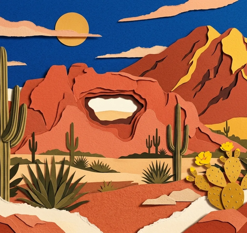
Hole-in-the-Rock, Papago Park
Follow the signed trail and steps to the viewing opening in the sandstone butte. From the established viewing area, use the rock to frame the city. Stay back from the edge and check park hours and heat conditions.
Search Google MapsPapago Park Nature Trail
The short gravel Nature Trail starts near the visitor center and passes labelled desert plants. Photograph the plants beside the path with the surrounding red rock in view. Bring water and avoid the hottest hours.
Search Google MapsDesert Botanical Garden
On the Sonoran Desert Nature Trail, use the visitor path to compose organ pipe cacti against the mountains. Garden admission is required. Stay on the trail and ask the garden ahead about planned photo shoots.
Search Google MapsJapanese Friendship Garden of Phoenix
Walk the garden paths and frame the pond with the surrounding plants. Admission is required. A posed or organised photo session, even with an amateur photographer, must be reserved and paid for in advance.
Search Google MapsEncanto Park
At Encanto Park, compose the lagoon and trees from a public path by the water. Check the city’s park hours and leave room for other visitors.
Search Google MapsDobbins Lookout, South Mountain Park
From the established Dobbins Lookout, photograph the city and the mountain slopes below. Summit Road closes to cars for Silent Sunday, with different hours depending on the Sunday. Check road and park notices before driving up.
Search Google MapsRosson House Museum
From the public sidewalk beside Heritage Square, frame the Rosson House exterior with its porch and ornate roofline. Museum tours are separate from viewing the building outside. Ask the operator about planned shoots in the park.
Search Google MapsMural Alley, Roosevelt Row
Explore the public stretch of 1½ Street in Roosevelt Row for a colourful street-art frame. Murals can change. Keep the walkway clear and avoid photographing people without permission.
Search Google MapsSources for these photo spots
- City of Phoenix, Papago Park trails
- City of Phoenix, heat response and trail closures
- Desert Botanical Garden, garden trails
- Desert Botanical Garden, visitor information
- Desert Botanical Garden, shoot requests
- Japanese Friendship Garden, garden guidelines
- Japanese Friendship Garden, photo shoots
- Japanese Friendship Garden, visitor questions
- City of Phoenix, Encanto Park
- City of Phoenix, Encanto Park board packet
- City of Phoenix, South Mountain Park
- The Square PHX, Rosson House tours
- The Square PHX, photography guidelines
- Visit Phoenix, Heritage Square
- Visit Phoenix, downtown mural walls