Sydney / 10 photo spots
10 Instagram spots in Sydney worth stopping for
White sails, a harbor bridge and ocean pools: Sydney's photo spots follow the water. These 10 run from the harbor to the northern beaches.
Explore the map
Photo spots on the map
1 of 10 photo ideas has sourced location coordinates. The initial view is for orientation. An area marker does not indicate an exact photo position.
Select a highlighted number to show its sourced location on the map. Every name links to the photo spot.
If the map does not load, use the OpenStreetMap link or the photo spot list.
Map data: © OpenStreetMap contributors, ODbL.
Destination reference: GeoNames (CC BY 4.0). Spot coordinates: Wikidata, CC0. Selection, association and some calculations by You, Me, Away.
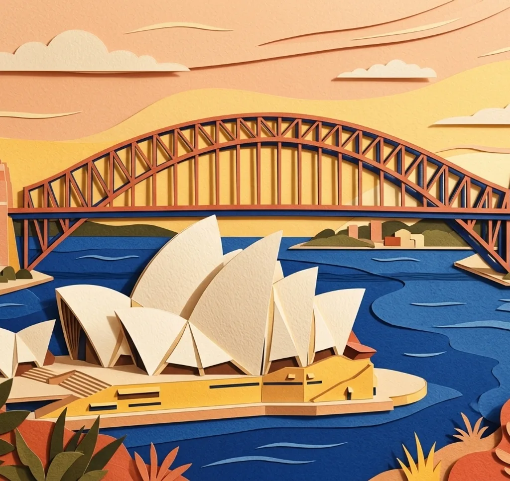
Opera House
The sail-shaped roofs sit on the harbor point, a UNESCO site since 2007. Shoot from the water side at dusk when the shells are lit.
Open in Google MapsInstagram examples (1)
The Grounds Alexandria
A restaurant and garden complex of brick lanes and plantings. The garden courtyard gives the greenest shots; book a table for meals.
Open in Google MapsInstagram examples (2)
Harbour Bridge
The 1,149-meter arch links the city with the north shore since 1932. Walk the pedestrian deck for harbor views, or shoot the lit arch at night.
Open in Google MapsInstagram examples (2)
The Harbour Rocks Hotel
A sandstone hotel a short walk from the bridge in the Rocks. The historic facade and the pub interior give two different shots.
Open in Google MapsInstagram examples (2)
Royal Botanic Gardens
More than 30 hectares of gardens run along the harbor east of the Opera House. The lawns give the framed view of the harbor and the bridge.
Open in Google MapsManly Beach
A surf beach in the north that hosted the first world surfing titles in 1964. The promenade and the headland path give the long beach views.
Open in Google MapsInstagram examples (2)
Palm Beach
A surf beach about 44 kilometers north of the center. The Barrenjoey headland walk gives the view down both beaches.
Open in Google MapsInstagram examples (2)
Parsley Bay Bridge
A 1910 footbridge over a small harbor bay. The bridge frame sets up the harbor view behind it.
Open in Google MapsInstagram examples (2)
Ball’s Head, Waverton
A bush reserve with trail lookouts facing the bridge. The platforms give the bridge and city view across the water.
Open in Google MapsInstagram examples (1)
North Curl Curl Rockpool
A 25-meter ocean pool on the rock shelf near the beach. Shoot from the rocks at low swell for the pool against the sea.
Open in Google Maps